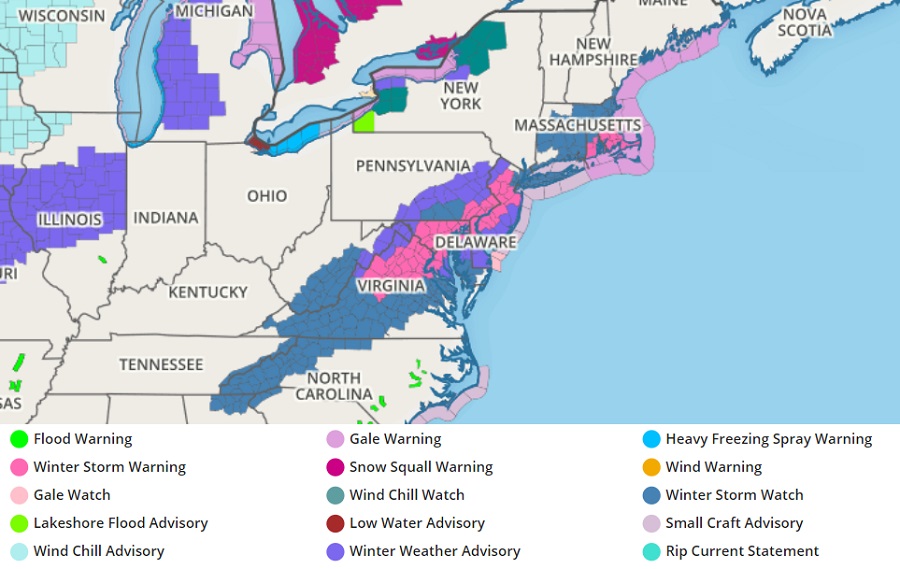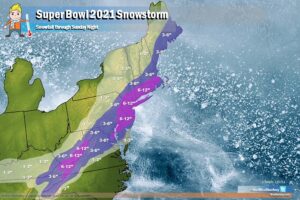
The National Weather Service has upgraded many Winter Storm Watches that were in effect across portions of the Mid Atlantic and southern New England to Winter Storm Warnings as odds for a heavy snowfall have increased across that area. They have also converted Winter Storm Watches to Winter Weather Advisories where snow is expected but not expected to reach warning criteria of 5″ or 6″ or more snow. The worst is expected to strike on Super Bowl Sunday morning.
The National Weather Service warns, “heavy snow is expected….[in] portions of central, northern, northwest, and southern New Jersey, southeast Pennsylvania, northeast Maryland, and northern Delaware…from 4am to 7pm EST Sunday.” They add that “travel could be very difficult particularly late Sunday morning and early Sunday afternoon.”

The snow is coming from a coastal storm that is expected to race up the northeast coast. Unlike the storm that dropped more than 30″ of snow in portions of New Jersey and Pennsylvania earlier in the week, this storm is a fast mover. While it’s fast, it will still be potent. “A heavy band of snowfall will overspread the area Sunday morning, with snow continuing into Sunday afternoon. Snowfall rates of 2″/hour will be possible within this heavy band and isolated snowfall totals in excess of 7″ will be possible,” says the National Weather Service in their Winter Storm Warning text.