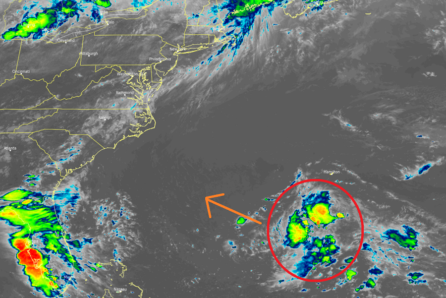
The National Hurricane Center is monitoring two areas of disturbed weather in the Atlantic Ocean for possible tropical cyclone development, including one system that is drifting towards the southeast U.S. coast.
According to the National Hurricane Center (NHC) at their headquarters in Miami, Florida, a surface trough located a couple hundred miles south of Bermuda is producing a broad area of disorganized showers and thunderstorms. Although surface pressures are currently high across the area, the NHC says some additional slow development could occur while the system moves westward at 10 to 15 mph over the next few days. For now, formation chances aren’t too high; there’s only a 10% chance, or low chance, of tropical cyclone formation over the next 48 hours and over the next five days. However, computer forecast models do show this disturbed weather heading to the southeast whether or not it develops; as such, some heavy rain is possible when it does approach the coast.
The second area being monitored by the NHC is over the far eastern tropical Atlantic, roughly 400 miles south-southwest of the Cabo Verde Islands. For now, a tropical wave associated with a broad area of low pressure is located there. The NHC says although shower and thunderstorm activity is currently disorganized, they believe some slow
development will be possible over the next several days while the disturbance moves generally westward at 15 to 20 mph. While this disturbance has a better chance of forming into a tropical cyclone than the system closer to the the U.S., formation chances remain low. The NHC says there’s a 20% chance of formation over the next 48 hours and a 30% chance of formation through the next five days.
Elsewhere, there are no suspect areas being monitored by the NHC throughout the Atlantic hurricane basin.
The Atlantic Hurricane Season runs through to the end of November.