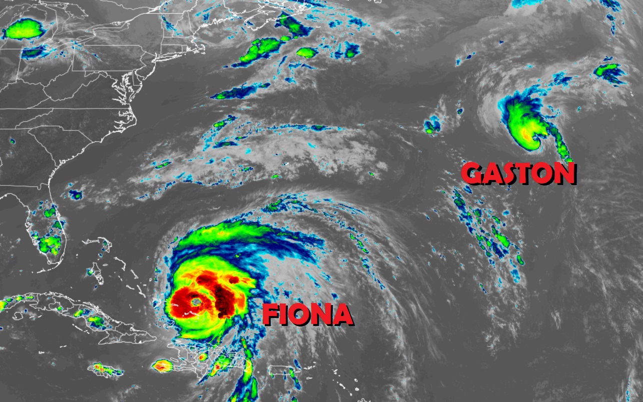
The Atlantic Hurricane Basin is busy once again: Hurricane Fiona, which delivered another catastrophic blow to Puerto Rico, is getting stronger; it could blast Bermuda and Nova Scotia as a significant hurricane. Meanwhile, Tropical Storm Gaston has formed in the north central Atlantic. The National Hurricane Center (NHC) in Miami, Florida is tracking and forecasting both systems as they move about in the Atlantic.
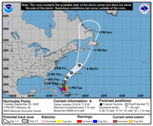
Right now, Hurricane Fiona is still producing strong winds and heavy rains over portions of the Turks and Caicos where Hurricane Warnings remain in effect. The storm is located about 50 miles north of North Caicos Island and about 795 miles southwest of Bermuda. With maximum sustained winds of 115 mph, the storm is moving to the north-northwest at 8 mph; minimum central pressure is at 957 mb or 28.26″.
In addition to the Hurricane Warning that is in effect in the Turks and Caicos, the government of Bermuda has issued a Tropical Storm Watch there. A Tropical Storm Warning is still in effect for the southeastern Bahamas, including the Acklins, Crooked Island, Long Cay, the Inaguas, Mayaguana, and the Ragged Islands. A Hurricane Warning means that hurricane conditions are expected somewhere within the warning area. A Tropical Storm Warning means that tropical storm conditions are expected somewhere within the warning area. A Tropical Storm Watch means that tropical storm conditions are
possible within the watch area, generally within 48 hours.

Fiona should continue on its north-northwest motion tonight and turn due north sometime tomorrow. On Thursday, Fiona is forecast to move north-northeast. At the same time, the NHC expects Fiona to gain even more strength. Right now Fiona is a category 3 hurricane on the Saffir-Simpson scale; the NHC expects the storm to gain additional strength over the next several days. Late on Thursday, on the current forecast track, Fiona should approach Bermuda as a category 4 hurricane. At this time, it looks like the center of Fiona should travel well west of Bermuda, saving it from the worst impacts of the storm. However, because the approach is so close, people in Bermuda should remain vigilant and prepare; additional watches or warnings may be needed there. Beyond Bermuda, Fiona could make landfall as a hurricane over eastern Nova Scotia, Canada. Residents there should begin making preparations for that possibility now well before possible landfall occurs.
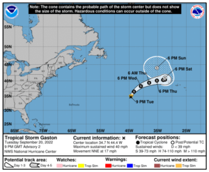
Meanwhile, the National Hurricane Center has also upgraded a tropical depression in the Atlantic to Tropical Storm Gaston. Gaston is located about 990 miles west of the Azores and has maximum sustained winds of 40 mph, making it a minimal tropical storm. Gaston is moving to the north-northeast now at 17 mph; it has a minimum central pressure of 1009 mb or 29.80″.

According to NHC forecasts, Gaston is expected to turn to the northeast on Wednesday, followed by a motion to the east. As it moves northeast and east, Gaston should pick up some additional strength. However, the NHC doesn’t believe it will reach hurricane intensity. Over time, Gaston is expected to spin about to the north and west of the Azores, which could send life-threatening surf and rip current conditions there. Most precipitation and wind should remain to the north and west of the Azores as the system weakens in the extended range.
Beyond Fiona and Gaston, the National Hurricane Center is also tracking a tropical wave located a few hundred miles east of the Windward Islands which is forecast to become a tropical cyclone in the coming days. Right now, it’s moving west-northwest at 15-20 mph and could impact the Windward Islands later tomorrow. Beyond that, it could develop into a tropical storm or hurricane and threaten more land, including possibly the United States, with time.
The Atlantic Hurricane Season started on June 1 and runs through to the end of November