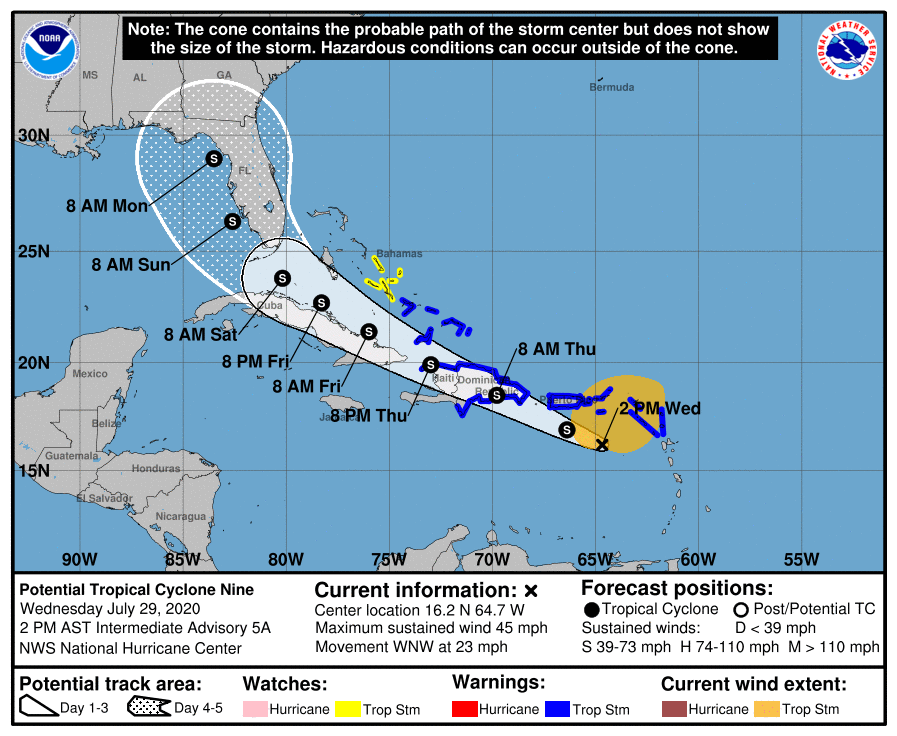
The National Hurricane Center has shifted their forecast track for Potential Tropical Cyclone #9 a bit to the west from earlier tracks, bringing what is likely to be Tropical Storm Isaias up the Florida west coast.

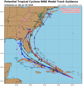
While the official forecast track from the National Hurricane Center has moved a bit, computer forecast model guidance is still split, with some keeping the storm up the East Coast, while others bringing it to the Gulf of Mexico.
While the storm system is large with a broad field of tropical storm winds, it has yet to form a central circulation more typical of tropical cyclones. Because the center of circulation lacks definition, forecast models and meteorologists that use them have less than typical confidence in where this storm could go. As the storm becomes better structured, that confidence will improve.
For now, regardless of development, this system will produce heavy rains and potentially life-threatening flash floods and mudslides across the northern Leeward Islands, the Virgin Islands, Puerto Rico, and the Dominican Republic.
Tropical storm conditions are likely across portions of the Leeward Islands, the Virgin Islands, and Puerto Rico today and will spread west to the portions of the Dominican Republic, Haiti, and the southeastern Bahamas and Turks and Caicos on Thursday.