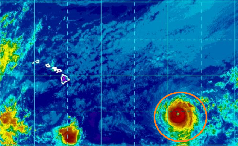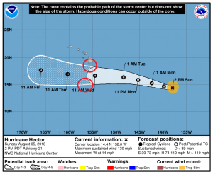
The National Hurricane Center said Hurricane Hector regained Category 4 status today after briefly becoming a Category 3 storm overnight. Either way, Hurricane Hector remains a major hurricane with maximum sustained winds of 130mph with higher gusts. As of the last official report issued at 2pm PT, the center of Hurricane Hector was located near latitude 14.4 North, longitude 138.0 West. Hector is moving toward the west near 14 mph and this general motion is expected to continue for the next few days with some increase in forward speed. On the forecast track, Hector will cross into the central Pacific basin tonight. Little change in strength is expected tonight and Monday, but some slight weakening is forecast Monday night through Wednesday.

Hurricane Hector is slightly larger than it was yesterday morning. Hurricane-force winds extend outward up to 30 miles from the center and tropical-storm-force winds extend outward up to 105 miles. The estimated minimum central pressure is 952 mb (28.12 inches)
No watches or warnings are up for Hawaii at this time. Once the storm crosses into the Central Pacific Basin tonight, the Central Pacific Hurricane Center in Honolulu, HI will assume responsibility for forecasting and issuing advisories from this storm from the National Hurricane Center in Miami, Florida.