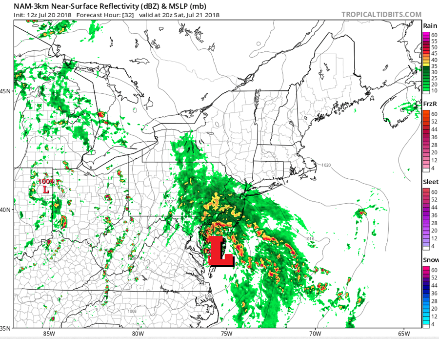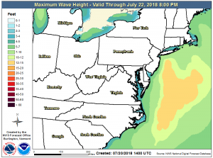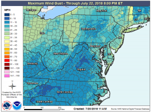
A potent coastal storm will impact portions of the Mid Atlantic and Northeast this weekend, an interesting storm situation more common in November than July. As the system slides north up the coast, heavy rain, strong winds, rough surf, and the threat of strong thunderstorms will not only make for a damp weekend, but will set the stage for what is likely to be a period of prolonged cloudy and wet conditions.

The coastal low will take shape and slide up the coast tomorrow. While earlier forecast guidance suggested a variety of outcomes with the storm, it now appears likely the system will hug the coast line, bringing wind-whipped rains well inland to western Maryland, central Pennsylvania, and central upstate New York. However, it is the area closest to the low that will see the most impacts: Delaware, New Jersey, and the New York City metro area will see the most wind and rain. The National Weather Service’s Weather Prediction Center has determined that there’s a risk of heavy rainfall from this system. It appears 2-5″ or more of rain could fall from this system from Saturday to Sunday, setting the stage for fresh water and/or flash flood conditions. While conditions have been relatively dry in this area, because the rain is forecast to fall fast and onto hard ground that won’t be able to quickly absorb the rain, flooding is a serious concern; the National Weather Service is considering issued Flash Flood Watches for the region later today ahead of this storm. Before any flood advisories are issued, residents should become with flood terminology and the different types of flood advisories that the National Weather Service could issue.

While the coastal low pressure system will be responsible for the bulk of the rain and wind Saturday into early Saturday, a new system and a pattern shift will set the stage for a prolonged period of damp and dark conditions in the eastern US. A cut-off upper level low and associated surface low will dig down into the Ohio Valley. While that low lingers there, a strong Bermuda High pressure system will develop over the Atlantic. In a typical summertime weather pattern, the high is strong enough and west enough to bring hazy, hot, and humid conditions up the coast; other than PM scattered showers and storms, such a weather pattern is usually absent most rain. But in this unusual set-up, the high will be far enough east and the low close enough from the west to produce a wet pattern close to the coastal plain. By getting squeezed between the high to the east and the low to the west, moisture will stream into the region from the south. As the low pressure system spins about over the Ohio Valley, a warm front will push north into the New York City metro area on Sunday as the coastal storm pushes north. With this front pushing north, a flow with good transport of moisture from the Gulf of Mexico will become established, keeping uncomfortable, muggy conditions around for days.
The muggy air mass will continue to threaten the area with heavy rain, with another 2 or more inches of rain possible on Monday. The low to the west will linger in the region for many days, keeping the muggy air mass in place over the eastern US for all of next week. While the week won’t be a complete wash-out with round-the-clock heavy rain fall, there are likely chances of scattered showers and storms every day for places like Virginia, Maryland, Delaware, New Jersey, Pennsylvania, New York, Connecticut, Rhode Island, Massachusetts, New Hampshire, and Maine. As trigger mechanisms rotate through, some days will have better chance of more widespread rain activity than others. While weak high pressure may provide some relief from the wet pattern by the end of the weekend, it looks like more wet weather will return for the following weekend too. Unfortunately for sun worshippers and those hoping to have weather-problem-free fun at area beaches, clouds and rain will be more prevalent than sunny blue skies for the next 7-10 days.