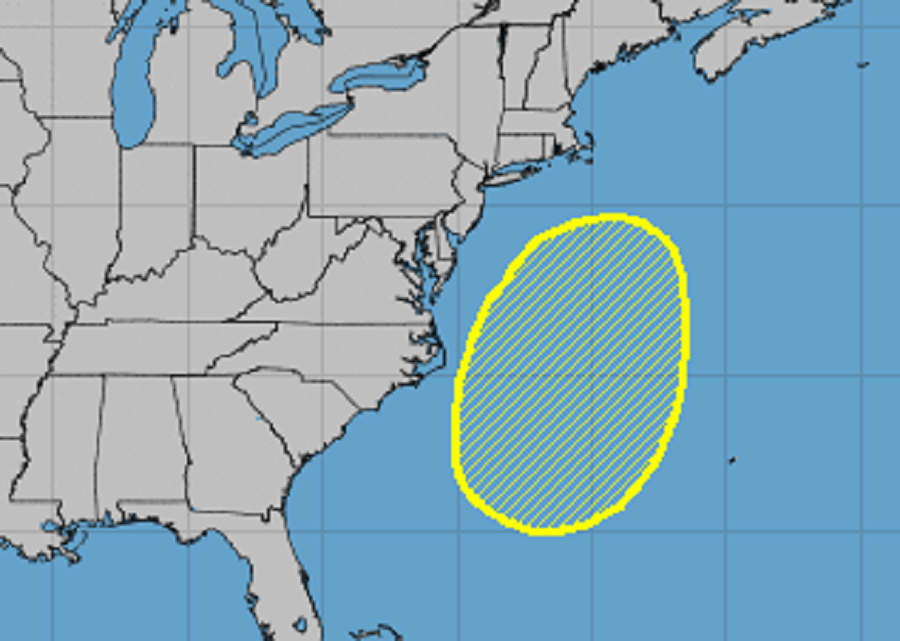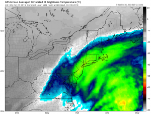
Meteorologists at the National Hurricane Center and at the National Weather Service are tracking an area of disturbed weather that could become better formed this week just off the U.S. East Coast. Computer forecast guidance that meteorologists use to aid with their forecasting suggests a robust storm system could form this week, but greatly differ on specific outcomes for the Mid Atlantic and Northeast coast.
A non-tropical low pressure system is forecast to develop over the western North Atlantic between Bermuda and the east coast of the United States in a few days. According to the National Hurricane Center, the low could acquire some subtropical characteristics later in the week while it meanders off the east coast of the United States. The forecast is especially challenging because a blocking pattern should also develop over the eastern United States and western Atlantic Ocean; this will allow whatever surface low that develops off the East Coast this week to drift somewhat aimlessly for many days as the blocking pattern develops. For now, the National Hurricane Center believes there’s only a 20% chance that this system will evolve into a tropical cyclone. While odds are low that a tropical system will form here, odds are high that another kind of storm system will form.

The latest leading global computer forecast models, the American GFS and the European ECMWF, suggest different impacts to the coast. While both hint at a rather wet period Tuesday night and Wednesday for at least the Mid Atlantic, both differ rather significantly in how things will unfold. The overnight run of the ECMWF is farther west with the storm system and a bit slower, which in turn generates considerable rainfall in the Mid Atlantic late Tuesday night through Wednesday afternoon. The GFS is lighter and farther east with the precipitation, producing most rainfall over the ocean rather than on land. Other forecast guidance, such as the short-duration American NAM and Canadian CMC also displace the system off to the east, generating little precipitation away from the immediate coast.
Ultimately, a strong mid-level jet streak should develop in the central and southern Plains by Saturday, forcing a cold front to sweep toward the East Coast. While this may help drawn in more precipitation from a coastal system to the northeast in the short-term, the front should push it and its related precipitation out to sea, probably by Sunday. What happens before that front arrives remains in doubt.
At the very least, those on the immediate coast and nearby should expect breezy and windy northeast winds this week, especially during the middle of it. With a prolonged northeasterly fetch, there could be issues with coastal flooding, beach erosion, and rip currents all week, especially midweek). Temperatures should be fairly similar day-to-day, with near to slightly below average highs and lows given the considerable cloudiness expected combined with the onshore flow. The coast will have the best chances for rain with the chances of rain decreasing as one travels away from the coast. Should the system increase in strength and/or structure and/or inch its way closer to the shoreline, the threat of heavier rain will increase at the coast, while the chance for other rainfall will increase in inland areas.