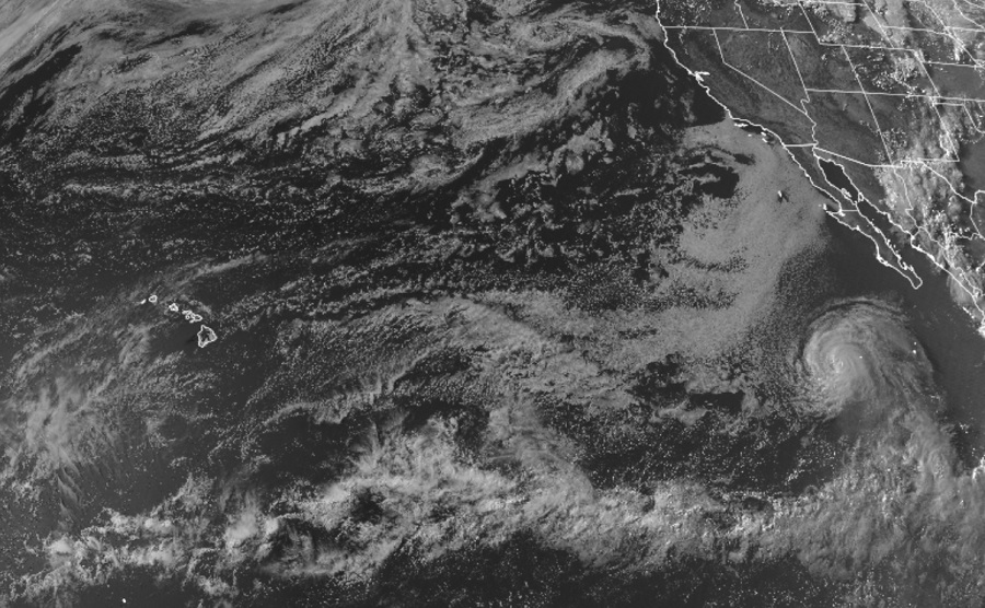
Hurricane Bonnie continues its track west across the Eastern Pacific Hurricane Basin; while it is expected to weaken and break apart with time, leftover precipitation from the tropical cyclone could impact the state of Hawaii next week.
As of the latest update from the National Hurricane Center, Bonnie was located roughly 560 miles southwest of the southern tip of Baja California. The hurricane had maximum sustained winds of 90 mph and was moving west at 17 mph. The minimum central pressure of the storm was 980 mb or 28.94″.
The National Hurricane Center expects Bonnie to follow a general westward motion at a slightly faster forward speed over the next few days. While it speeds up, it is also forecast to weaken below hurricane strength on Friday and then become a post-tropical cyclone on Saturday.
As what’s left of it enters the Central Pacific hurricane basin, where colder waters persist, Bonnie won’t have a chance to redevelop. But its remnant moisture is likely to keep moving west, interacting with the Hawaiian Islands from July 12 – 15. Windward portions of the islands could see enhanced shower and storm activity from the lingering moisture; the slopes of the higher elevations of the islands, especially on the Big Island of Hawaii, could see very heavy rains.
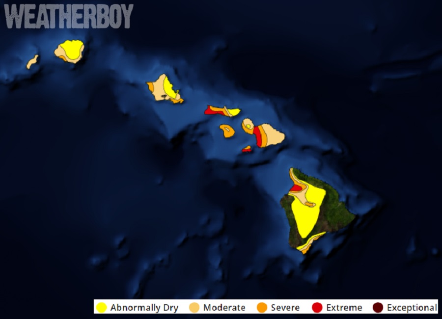
While a sudden surge of moisture could bring flash flooding and mud/rock slides to Hawaii, it could also bring much needed precipitation to a state suffering from a prolonged serious drought.
