The National Hurricane Center has boosted their odds that a tropical cyclone will take shape around the northeastern Gulf of America in the coming days.
In this evening’s Tropical Outlook for “the North Atlantic, Caribbean Sea, and Gulf of America”, National Hurricane Center (NHC) meteorologists say odds of tropical cyclone formation have increased from 0% to 30% for the next 48 hours and from 20% to 40% for the next 7 days for the area of concern.
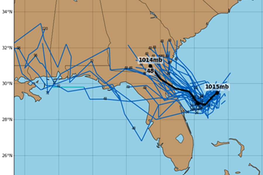
An area of low pressure located offshore of the east coast of Florida continues to produce disorganized showers and thunderstorms primarily south of the center. According to the NHC, this system is forecast to move westward across the Florida Peninsula on Tuesday and Tuesday night, eventually moving into the northeastern Gulf of America by the middle part of this week.

“Environmental conditions appear generally favorable for additional development if the system remains offshore, and a tropical depression could form as the system moves across the northeastern and north-central Gulf by the middle to latter part of this week,” wrote the NHC in this evening’s Tropical Outlook.
Even if a tropical cyclone doesn’t form, very heavy rainfall could produce localized flash flooding over portions of Florida and the north-central Gulf coast through the middle to latter portion of this week.
Elsewhere across the North Atlantic, Caribbean, and Gulf of America, the NHC says the tropics are quiet and there’s no other systems of concern nor do they expect any tropical cyclones to form elsewhere in the basin over the next 7 days.
