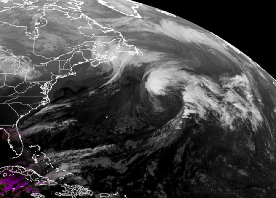
The National Hurricane Center (NHC) in Miami, Florida is tracking a disturbance in the North Atlantic that looks quite impressive on weather satellite photography; they say there’s a 50-50 chance that a subtropical cyclone could form there.
Right now, the system is a a storm-force non-tropical area of low pressure located several hundred miles east-northeast of Bermuda. According to the NHC, this disturbance is producing a large area of showers that extend near and to the north of its center along an associated frontal boundary. Although the shower activity has increased near the center today, the system has not acquired sufficient characteristics to be classified as a subtropical cyclone.
The National Hurricane Center says there’s a brief period of time for the balance of today / tonight that this system could become a named subtropical storm. By Friday, the storm center will reach much colder water, shutting down any chances of development. By this weekend, the system is expected to be absorbed by a larger non-tropical low and head east over the Atlantic Ocean, away from North America.
If the system becomes a subtropical storm it would be the 22nd named storm of the 2021 Atlantic Hurricane Season. Because a season only has 21 names to use, the National Hurricane Center would need to rely on a back-up list of names created this year for the very first time. In past years, should there be 22 or more storms, the National Hurricane Center would name storms after Greek alphabet letters. To avoid confusion moving forward, they developed a list of more traditional names for the basin. The first storm on this back-up list would be called “Adria.”
The 2021 Atlantic Hurricane Season runs through the end of November.