A Kona Low is pouncing the Aloha State and the Hawaiian Island of Hawaii, also known as the “Big Island”, is getting hit the hardest with gusty winds and flooding rains. But at higher elevations of the islands volcanic peaks of Mauna Loa and Mauna Kea, temperatures will be cold enough to produce heavy snow, prompting the National Weather Service in Honolulu on the island of Oahu to issue a Winter Storm Warning.
The Kona Low gets its name from the change in wind direction that occurs when such a storm moves over the Hawaii Islands. Hawaii is dominated by the trade winds that typically blow in from the northeast. However, the counter-clockwise flow around a Kona low located west of Hawaii results in southwesterly winds over the islands, which is typically the leeward or “Kona” side. Kona Lows are most common between October and April. These type of storms draw abundant moisture up from the warm tropical waters that surround Hawaii; when this moist flow interacts with the steep topography of the island which helps to wring-out moisture, extremely heavy precipitation can fall. Because the wind flow around a Kona Low is atypical, flooding rains occur in places that may not ordinarily flood in tropical downpours that impact the islands from time to time.
The low will weaken southwest of the state Tuesday through mid-week, allowing chances of thunderstorms and heavy rain to taper off. However, lingering moisture and weak upper level troughing could still keep chances of rain over the state through the week.
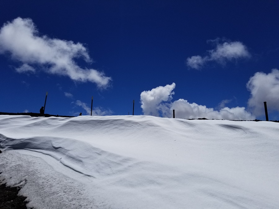
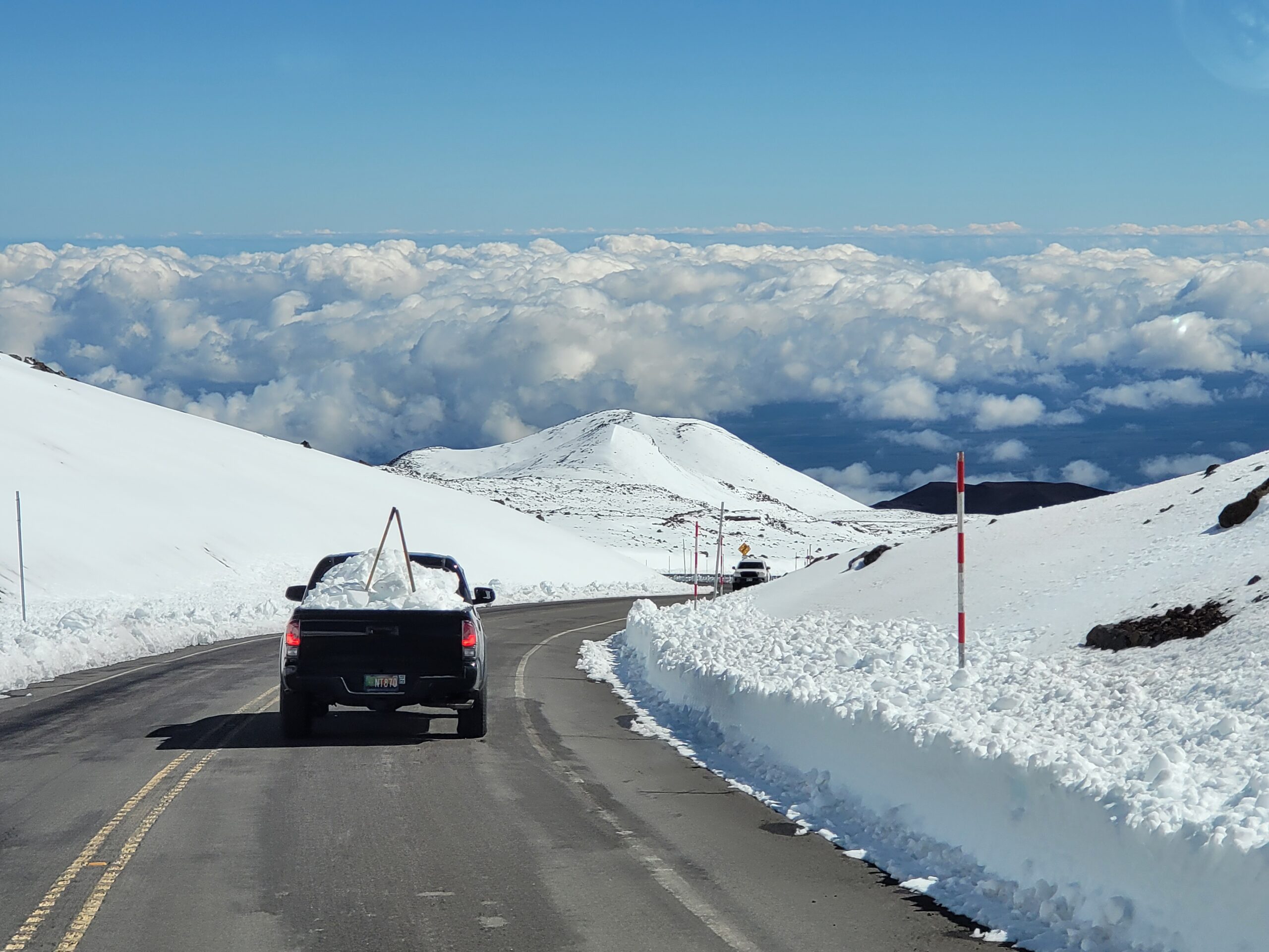
While most people don’t associate the tropical paradise Hawaii is known for with snow, they’re surprised to learn that it does snow in the winter due to the elevation of its volcanic peaks. Mauna Kea is the highest of the bunch at 13,803 feet. Maui’s Haleakala is much lower at 10,023 feet. Because of that difference, Hawaii Island will see snow more frequently than the lower peak of Maui Island. Just one storm in January 2020 dropped 2-3 feet of snow on Hawaii Island and created snow drifts that were far deeper. Another storm in 2021 brought snowboarders and skiers out to the mountain by the dozens.

The National Weather Service’s Winter Storm Warning is for elevations 11,000 feet and higher on Hawaii Island. The Honolulu office of the National Weather Service says, “Deep moisture being drawn up from the south ahead of a Kona low will produce periods of heavy snow and ice over the summits of Mauna Loa and Mauna Kea.” They add, “Travel could be very difficult to impossible. Blowing snow will significantly reduce visibility at times, with periods of zero visibility.” A Winter Storm Warning means significant amounts of snow, and ice accumulation are expected or occurring. With strong winds too, travel will become very hazardous or impossible in the Winter Storm Warning areas. “Any travel plans to the summits should be postponed until the threat diminishes,” warns the National Weather Service. Upwards of 10″ of snow is expected in the Winter Storm Warning area through Tuesday morning.
