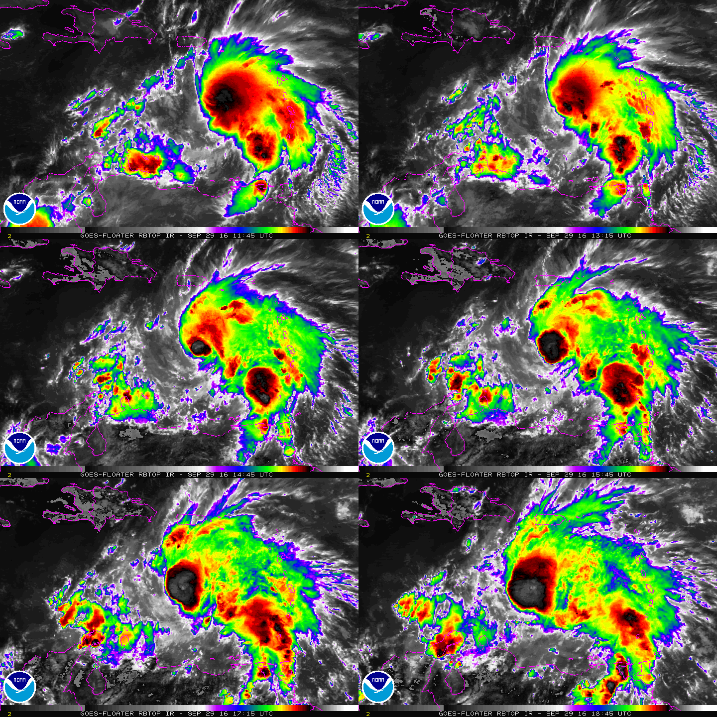
In their afternoon advisory, the National Hurricane Center has upgraded Tropical Storm Matthew to Hurricane Matthew.
At 2:00p AT, the center of Hurricane Matthew was located near latitude 14.2 North, longitude 67.0 West. The hurricane is moving toward the west near 17 mph and a general westward motion with some decrease in forward speed is expected during the next couple of days.
Reports from an Air Force Reserve Hurricane Hunter aircraft indicate that the maximum sustained winds have increased to near 75 mph with higher gusts. Gradual strengthening is expected during the next 48 hours.
Curious what it’s like to be a Hurricane Hunter? Check out our interview with one!
Hurricane-force-winds extend outward up to 70 miles from the center of the storm. Tropical-storm-force winds extend outward up to 205 miles from the center. A nearby NOAA buoy (42059) has recently reported sustained winds of 47 mph (76 km/h) with a gust to 54 mph (86 km/h). The latest minimum central pressure reported by the Hurricane Hunter
aircraft was 993 mb (29.32 inches).
For more information on Hurricane Matthew and other tropical threats in the Pacific and the Atlantic around the United States, visit our Hurricane and Tropical Weather page here: https://weatherboy.com/hurricanes-tropical-weather/