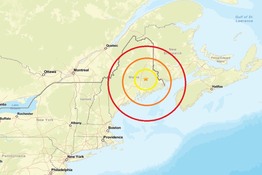
According to USGS, a weak earthquake rattled northeastern Maine near the town of Burlington. At 8:48 am Friday morning, the magnitude 1.8 event struck from a depth of 6.9 km. There was an earthquake of the same intensity nearby just days ago; on December 14, an earthquake struck North Windham.
According to USGS, earthquakes with a magnitude of 2.0 or less are rarely felt or heard by people, but once they exceed 2.0 more and more people can feel them. While damage is possible with magnitude 3.0 events or greater, significant damage and casualties usually don’t occur until the magnitude of a seismic event rises to a 5.5 or greater rated event.
While not famous for their earthquakes, Maine does get them from time to time. A magnitude 2.5 struck west of August on August 8, 2023. On September 16, 2022, a weaker magnitude 2.3 earthquake struck to the west of today’s. On April 24, 2022, an earthquake of similar intensity also struck central Maine. Earlier that month, on April 2, a magnitude 2.0 earthquake struck about 7 miles southeast of Waterville, near the Winslow-China town line. On March 8, a magnitude 2.1 earthquake struck about 2 miles north of Tunk Lake in eastern Hancock County. On February 12, a magnitude 2.4 earthquake struck 12 miles west of Houlton; some locals reported feeling shaking then. On February 4, a magnitude 2.9 event was widely felt in the Bethel area of western Maine, 8 miles from the epicenter in Gorham, New Hampshire. People up to 25 miles away from the epicenter of that earthquake felt it in Maine. Two earthquakes of a 2.0 magnitude hit on January 17 ; one was 2 miles west of Springvale, the other was about 1/2 mile south of Springvale.
According to the Maine Geological Survey with the Department of Conservation, seismic activity in Maine is typical of the Appalachian region of northeastern North America. “There is a low but steady rate of earthquake occurrence,” they report, adding that “The earthquakes are presumably caused by modern stress being released occasionally along zones of weakness in the earth’s crust, but a more specific cause for the earthquake activity is not known.”
