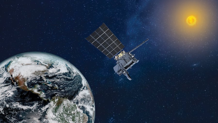
A new weather satellite is now live over the Eastern U.S., bringing the very latest in weather technology to the eastern U.S. NOAA’s GOES-19 satellite, the latest and final satellite in NOAA’s GOES-R Series, officially began operations as GOES East today. This milestone comes after its June 25, 2024 launch, and subsequent post-launch testing of its instruments, systems and data.
GOES-19 replaces GOES-16 as GOES East, positioned 22,236 miles above the equator at 75.2 degrees west longitude. GOES-16 will now become a backup for NOAA’s operational geostationary constellation, maintaining its operational readiness for future use, if needed.
“With GOES-19 now in operation, NOAA has delivered the full fleet of GOES-R satellites to orbit, providing the most sophisticated technology ever flown in space to help forecast weather on Earth,” said Stephen Volz, Ph.D., assistant administrator for NOAA’s Satellite and Information Service. “GOES-19 supports NOAA’s mission to provide secure and timely access to global environmental data and information to promote and protect the nation’s security, environment, economy and quality of life.”
In its new role, GOES-19 will serve as NOAA’s primary geostationary satellite for much of the Western Hemisphere. It will track hurricanes and tropical storms in the Atlantic ocean basin, as well as monitor severe weather, atmospheric rivers, wildfires, volcanic eruptions and other environmental events affecting the contiguous U.S.
While GOES-19 has just officially entered operational service, it began sending preliminary imagery and data in September 2024. Near real-time operational GOES-19 satellite imagery can now be viewed at this NESDIS Center for Satellite Applications and Research (STAR) site.
The cutting-edge satellite is also equipped with space weather instruments to monitor the sun, including NOAA’s first compact coronagraph instrument (CCOR-1). CCOR-1 images the solar corona (the outer layer of the sun’s atmosphere) to detect and characterize coronal mass ejections, which can disrupt Earth’s magnetosphere, leading to geomagnetic storms, auroras, and potential disruptions to technology, including electricity and satellite communications.
CCOR-1 will be the primary source for critical information about impending geomagnetic storm conditions, allowing NOAA’s Space Weather Prediction Center (SWPC) to issue warnings one to three days in advance.
“CCOR-1 is a game-changer for ensuring our nation is resilient to solar storms, allowing us to monitor massive eruptions of energy from the sun in real time,” said Clinton Wallace, director of NOAA SWPC. “With dramatically improved resolution and faster detection, it helps us better predict dangerous space weather that can impact satellites, GPS, astronaut safety, aviation and power grids, ensuring we can protect critical technology and infrastructure like never before.”
The GOES-R Series Program is a four-satellite mission that includes GOES-R (GOES-16, launched in 2016), GOES-S (GOES-17, launched in 2018), GOES-T (GOES-18, launched in 2022), and GOES-U (GOES-19). The program is a collaborative effort between NOAA and NASA. NASA builds and launches the satellites for NOAA. NOAA operates the satellites and distributes their data to users worldwide.
GOES-19 now joins GOES-18 (GOES West) in operational service. Together, the two satellites will continuously watch over more than half the globe, from the west coast of Africa to New Zealand and from near the Arctic Circle to the Antarctic Circle. Their data supports weather forecasters, emergency managers, first responders, the aviation and shipping industries and others.