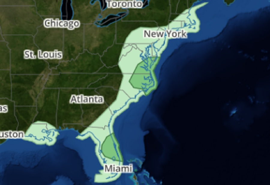
After a rough week that saw a storm system bring destructive tornadoes across Texas and even to the heavily populated city of New Orleans, things are beginning to quiet down as the system exits the coast. There’s only a slight risk of severe storms today over portions of Maryland, Virginia, North Carolina, and Florida, with an even lower risk of tornadic cells within the storm system.
Nevertheless, according to the National Weather Service’s Storm Prediction Center (SPC), there is an ongoing risk of isolated damaging winds and a brief tornado in eastern North Carolina and southeast Virginia and parts of central Florida for the next several hours. The severe-weather potential will likely continue to diminish and otherwise remain low owing to the prevalence of scattered showers, thunderstorms, and cloud cover within the warm sector to the east of a an east-northeastward-advancing surface low and cold front. According to the SPC, even with a limited thermodynamic environment, some short-term guidance continues to suggest a couple of low-topped stronger storms or weak supercells could develop.
Beyond these areas of limited severe weather action, some thundershowers are possible across south eastern New England, a large part of Pennsylvania, and all of Delaware, New Jersey, and Maryland. While storms aren’t expected to become severe there, any lightning could be hazardous.
The National Weather Service cautions people: when thunder roars, head indoors; if thunder is close enough to be heard, lightning is close enough to kill.