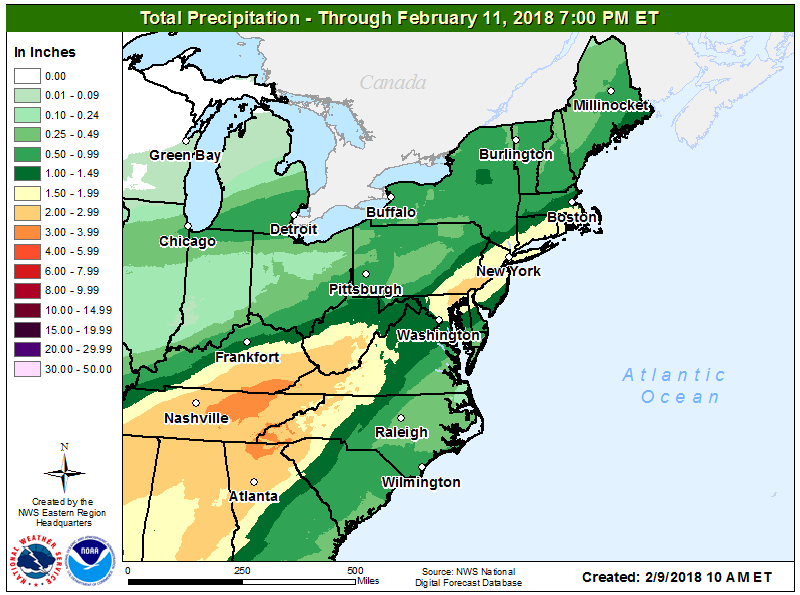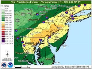
A storm system will bring soaking rains -and not accumulating snow- to large portions of the Eastern United States, perhaps setting the stage for urban flooding concerns in the I-95 corridor this weekend. Some of the heaviest rains are expected between Baltimore, Maryland and New Brunswick, New Jersey, where 2-3″ of rain can fall; this heavy rain zone includes Philadelphia, Pennsylvania.
In the heavy rain area, ponding of water on roads, along with rises in small streams and creeks, are likely. Residents should stay alert should any flash flood advisories be needed for heavy downpours.

The rain will be created by an evolving weather pattern. High pressure will shift offshore today as a warm front lifts into the Great Lakes region through the day. A series of low pressure systems will track along an eastward moving cold front over the weekend, bringing rounds of rain to the east. These low pressure systems are forecast to move offshore late Sunday into early Monday, with a high pressure system arriving. High pressure will build across New England Monday into early Tuesday, setting the stage for at least 48 hours of drying conditions.
Beyond then, more rain is likely across the Mid Atlantic. Unfortunately for snow lovers, there does not appear to be a favorable weather pattern for accumulating snow for places like Washington, DC, Philadelphia, PA, and New York City, NY any time soon. Fortunately, while the snow is absent, the rain is plentiful, which will help reduce the threat of serious drought as winter wraps up in the coming weeks.