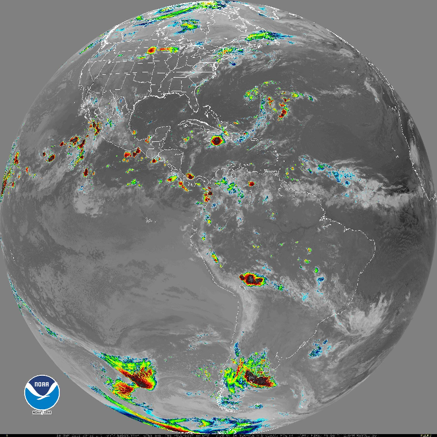
After a very busy 7-day period which brought a catastrophic typhoon across the Pacific from Guam to Hong Kong, Maui’s first landfalling Tropical Storm in Hawaii, and a moisture-rich hurricane that brought epic record-smashing rainfall to the Carolinas, the globe has quieted down for now. On the 16th when Florence and Joyce became a tropical depression and Helene became post-tropical, that marked the first time since September 1 that there were no tropical storms or hurricanes in the Atlantic basin. With Manghkut weakening to a Tropical Depression yesterday, the Pacific basin also became quiet. Now, for the first time since July 31, there are no tropical storms or hurricanes/typhoons anywhere around the globe.

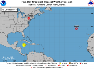
According to the latest Tropical Outlook from the National Hurricane Center, things should stay quiet for the next five days. The Miami-based center is tracking a disturbance south of Cuba, but give it very little chance of becoming anything over time. Disorganized showers and a few thunderstorms extending from Jamaica and eastern Cuba westward for a few hundred miles across the northwestern Caribbean Sea are associated with the remnants of Isaac. According to the National Hurricane Center, environmental conditions are expected to remain unfavorable for re-development while the system moves west-northwestward to westward across the northwestern Caribbean Sea. The National Hurricane Center does offer caution though; while development is not expected, brief periods of locally heavy rainfall and gusty winds are possible over portions of Jamaica, as well as eastern and central Cuba, during the next day or two.

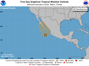
In the Eastern Pacific, a disturbance looks a little more promising for development, but the National Hurricane Center believes there’s only a 50-50 chance that something will form there over time. A broad and elongated area of low pressure located a few hundred miles southeast through south of the southern tip of the Baja California peninsula continues to produce widespread but disorganized showers and thunderstorms. Although environmental conditions appear conducive for tropical cyclone formation, the large size of the system and possible land interaction should prevent any significant or rapid development from occurring during the next day or so. However, according to the National Hurricane Center, this system could become a tropical depression on Wednesday or Thursday as it approaches Baja California Sur and enters the Gulf of California. Regardless of development, this broad disturbance will likely produce very heavy rainfall over Baja California Sur and other parts of northwestern mainland Mexico later this week.
Further west over the Central Pacific, the Central Pacific Hurricane Center believes no tropical cyclones will form over the next five days in that basin.
While things are quiet for now, that could change in two weeks with the arrival of October. Long range computer forecast guidance from the American GFS and European ECMWF systems each suggest that the tropics will become active again in October. They were the same to call for an active September after a very quiet August. Because the hurricane season doesn’t end until November 30, the tropics will be closely monitored for development, especially in October.