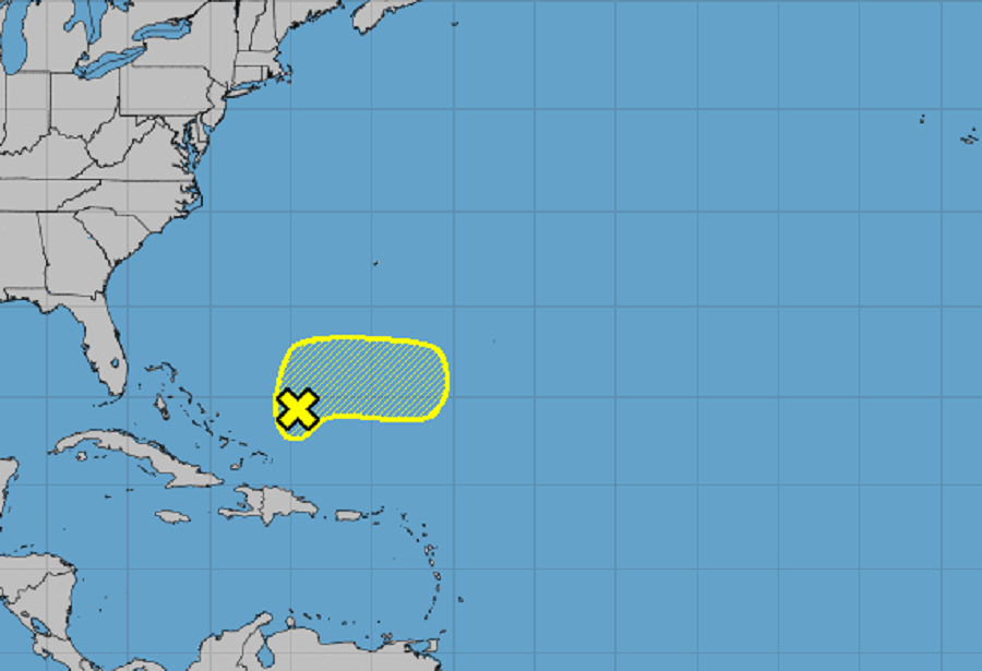
The Tropical Atlantic is relatively quiet today with just 6 more weeks of the 2021 Atlantic Hurricane Season left. While there are currently no tropical depressions, tropical storms, nor hurricanes, there is a disturbance not far from the Bahamas that the National Hurricane Center (NHC) in Miami, Florida is monitoring for signs of potential development.
According to the NHC, satellite-derived wind data and surface observations indicate that a broad low pressure system has formed about 200 miles northeast of the Turks and Caicos. This system is producing a large area of disorganized showers and thunderstorms mainly over the open Atlantic to the north and east of the low. While the area of clouds and showers looks somewhat impressive in weather satellite photography, the area lacks much structure. “Further development, if any, of this disturbance should be slow to occur during the next couple of days due to unfavorable upper-level winds,” the National Hurricane Center said in their latest Tropical Outlook. The NHC believes there’s only a 10% chance that a tropical cyclone will form here over the next 5 days.
The area in question is forecast to move slowly northeastward through tonight, then accelerate eastward on Thursday. Toward the end of the week, further development is not anticipated since the disturbance will be interacting with a frontal system over the Atlantic.
With the stormy area moving away from the islands now, the threat of locally heavy rainfall across portions of Hispaniola and the Turks and Caicos will diminish by tonight.
Elsewhere throughout the Atlantic Hurricane Basin, the NHC is monitoring no other potential system for development for now. The 2021 Atlantic Hurricane Season runs through to the end of November.