Due to an increase in volcanic activity, USGS has raised the alert level for a volcano off the coast of Alaska in the Aleutian Island chain where an eruption could occur at anytime. According to USGS and their Alaska Volcanoes Observatory (AVO) unit , over the past three days, over 90 earthquakes have been detected in the vicinity of Bogoslof volcano. “This marks a change in behavior and the Aviation Color Code and Volcano Alert Level is being increased to YELLOW/ADVISORY,” warned AVO.
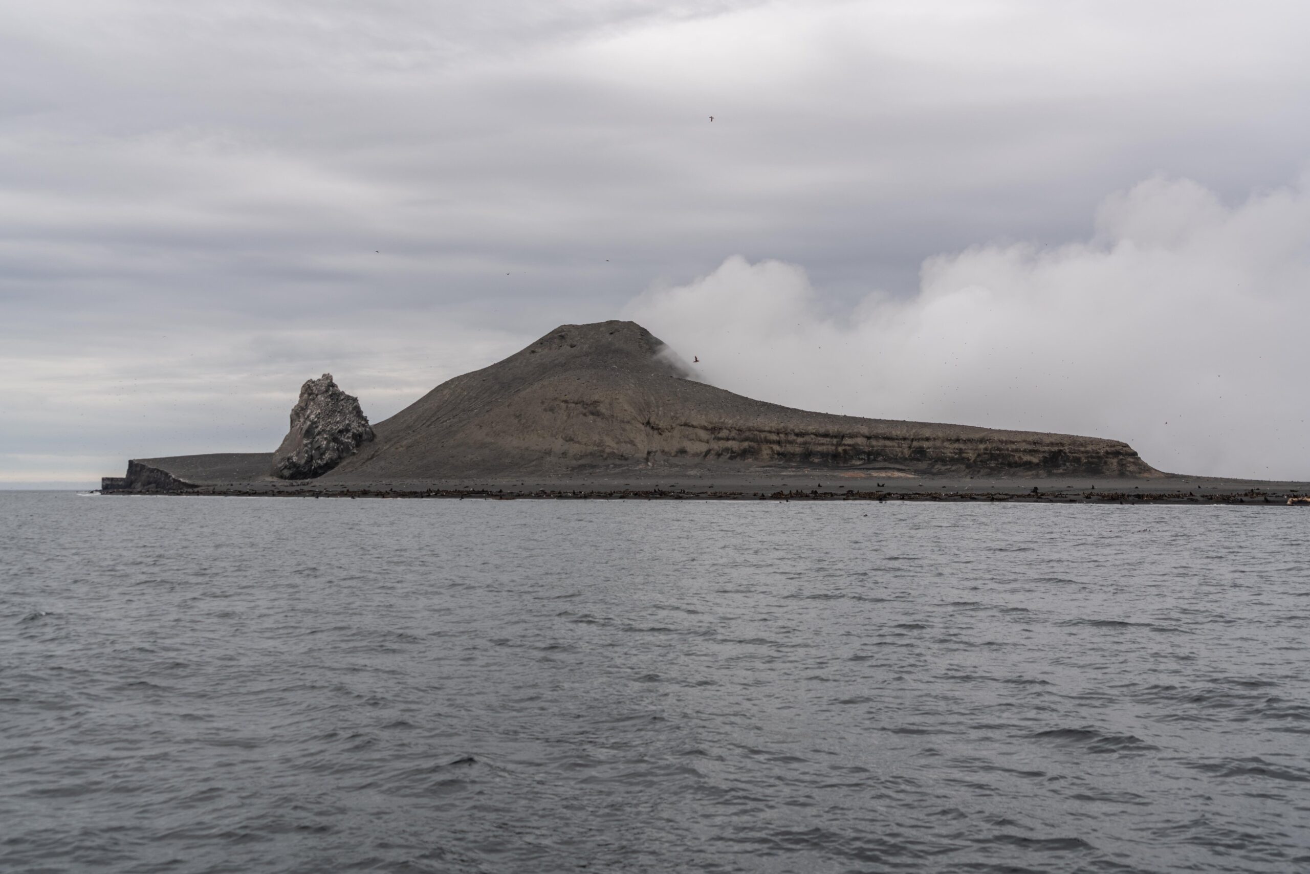
The volcano is located on Bogoslof Island , which is the summit of a submarine stratovolcano at the south edge of the Bering Sea, 35 miles northwest of Unalaska Island of the Aleutian Island chain. It has a land area of 319.3 acres and is uninhabited. The peak elevation of the island is 490 feet . The stratovolcano rises about 6,000 ft from the seabed, but the summit is the only part that projects above sea level.
According to AVO, increases in seismic activity typically precede eruptions, but many volcanoes have exhibited similar behavior that did not result in eruptions. There have been no other signs of unrest observed at Bogoslof in satellite data over the past several days.
Bogoslof volcano is monitored using a single local seismic station, distant seismic and infrasound instruments, satellite data and lightning detection. At least nine historical eruptions have been documented at Bogoslof volcano. The most recent occurred from December 2016 to August 2017 and produced 70 explosive events that generated volcanic ash clouds that rose as high as 42,500 feet which greatly modified the topography of the island.
In the U.S., the USGS and volcano observatory units are responsible for issuing Aviation Codes and Volcanic Activity Alert Levels. Aviation Codes are green, yellow, orange, or red. When ground-based instrumentation is insufficient to establish that a volcano is at a typical background level of activity, it is simply “unassigned.” While green means typical activity associated with a non-eruptive state, yellow means a volcano is exhibiting signs of elevated unrest above known background levels. When a volcano exhibits heightened or escalating unrest with the increased potential of eruption, it jumps to orange. Finally, when an eruption is imminent with significant emission of volcanic ash expected in the atmosphere or an eruption is underway with significant emission of volcanic ash into the atmosphere, the code becomes red. Volcanic Activity Alert levels are normal, advisory, watch, or warning. As with aviation codes, if data is insufficient, it is simply labeled as “unassigned.” When the volcano is at typical background activity in a non-eruptive state, it is considered normal. If the volcano exhibits signs of elevated unrest above background level, an advisory is issued. If a volcano exhibits heightened or escalating unrest, a watch is issued while a warning is issued when a hazardous eruption is imminent.
