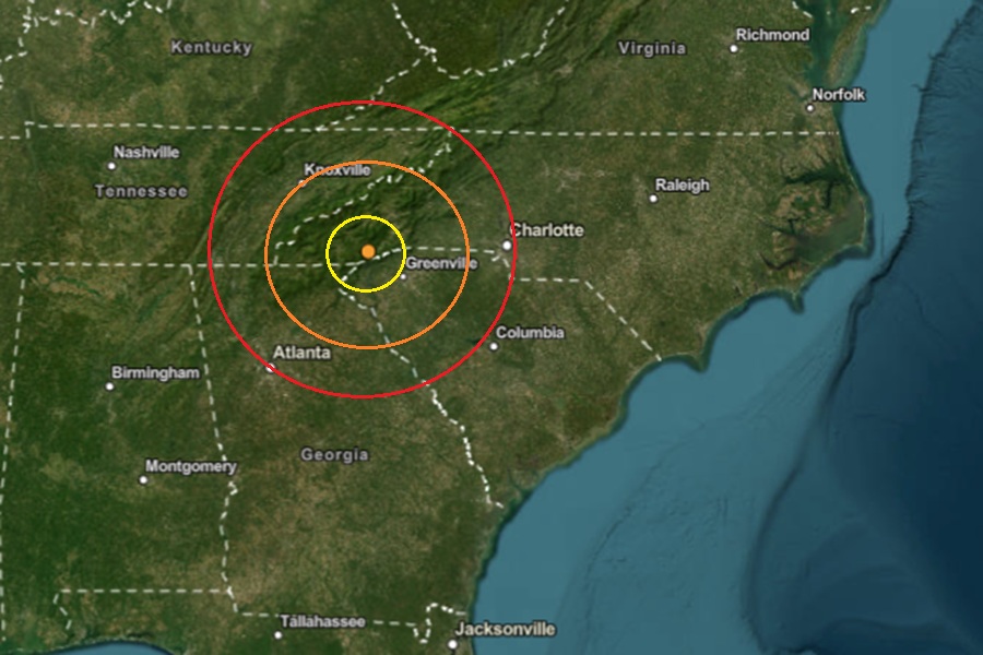
A weak earthquake rattled western North Carolina yesterday afternoon ahead of being impacted by a large scale winter storm. USGS reports that at 4:47 pm on Thursday from a depth of only 2.2 km, a weak magnitude 1.7 seismic event struck near Rosman, North Carolina which is within 10 miles of the border with Georgia and South Carolina.
According to USGS, earthquakes with a magnitude of 2.0 or less are rarely felt or heard by people, but once they exceed 2.0 , more and more people can feel them. While damage is possible with magnitude 3.0 events or greater, significant damage and casualties usually don’t occur until the magnitude of a seismic event rises to a 5.5 or greater rated event.
The earthquake struck a seismically active area of western North Carolina ahead of a winter storm that is expected to bring considerable sleet and freezing rain to the area. Significant icing, with additional impacts from accumulating sleet are expected with total snow and sleet accumulations up to two inches and ice accumulations between four tenths and three quarters of an inch expected. Because of that, an Ice Storm Warning is in effect for Saturday into Monday.
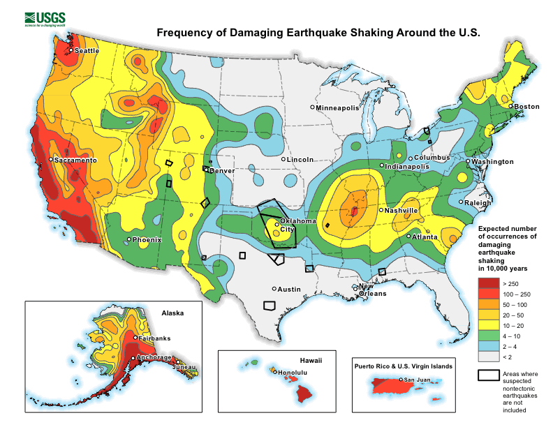
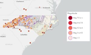
Earthquakes are not common in North Carolina, but they do occur, with most being small and not causing damage. While the state isn’t known for frequent or strong seismic activity, occasional tremors can be felt, and some larger earthquakes have been recorded in the past. While the mountains and foothills of western North Carolina are not located along an active tectonic plate boundary, the region still has minor earthquakes linked to old fault lines along the Appalachian Mountains.
According to the North Carolina Department of Environmental Quality, while North Carolina is no stranger to earthquakes, large, damaging earthquakes are rare. Large, damaging seismic events are rare and the few felt in North Carolina had epicenters outside of the state. Most quakes in North Carolina originate from the East Tennessee seismic zone to the west, the Charleston, South Carolina seismic zone to the south, or the Central Virginia seismic zone to the north. The most common and strongest earthquakes to strike the state have been in the western part along the Appalachian Mountains.
