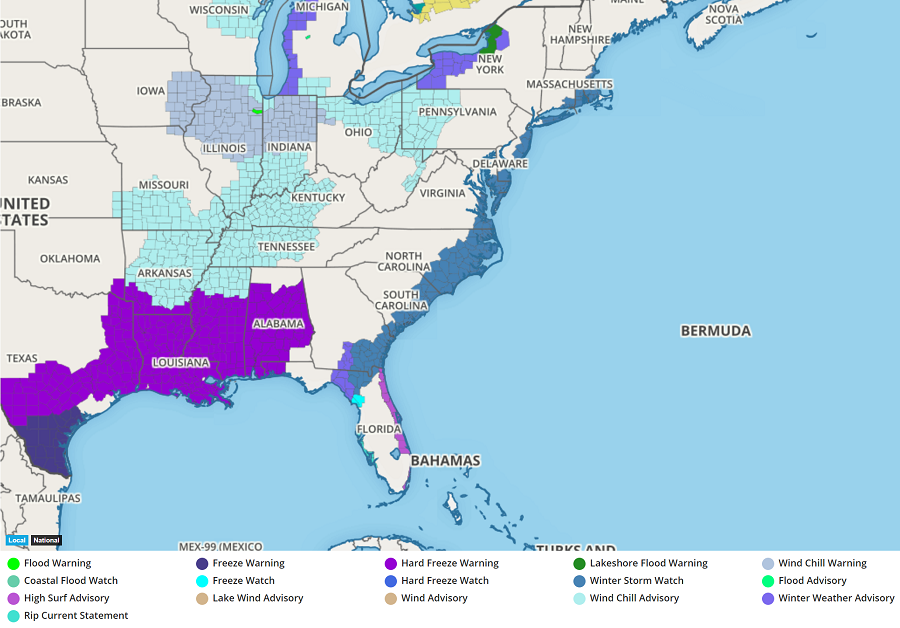
An area of low pressure will explosively grow off the East Coast later this week, setting the stage for blizzard conditions in the northeastern United States and Canadian Maritimes. Ahead of the storm, the National Weather Service has started to issue Winter Storm Watches for a large part of the east coast. Winter Storm Watches are now up for portions of Florida, Georgia, South Carolina, North Carolina, Virginia, Maryland, Delaware, New Jersey, New York, Connecticut, Rhode Island, and Massachusetts. Additional watches and warnings may be needed as the storm impacts the east coast tomorrow and Thursday.
A rapidly intensifying offshore storm is expected to produce significant snowfall, with strong winds possible on Thursday. Actual impacts, including snowfall amounts, will be highly dependent on the track of the intensifying storm system. In the counties under a Watch now, there is the potential for severe wintry weather conditions including the chance for heavy snow for some.
As this system goes through a period of rapid intensification, meteorologically referred to as “bombogenesis” or “bombing out”, stiff winds will wrap around it, setting the stage for a blizzard. It is not yet known where blizzard conditions will unfold, but the best odds exist in portions of coastal New England and the Canadian Maritimes.
A slight shift in storm track will yield vastly different impacts. Once additional data arrives tonight, meteorologists will better understand the eventual track this storm should take up the east coast.