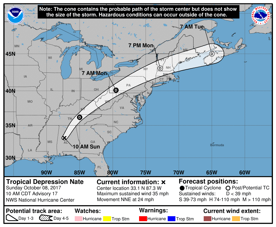
Nate, which made landfall as a Category 1 hurricane last night at the mouth of the Mississippi River in Louisiana, has now weakened to a tropical depression. As of 11am ET, the center of Tropical Depression Nate was located near latitude 33.1 North, longitude 87.3 West. The depression is moving toward the north-northeast near 24 mph. A turn toward the northeast with an increase in forward speed is expected during the next couple of days. On the forecast track, Nate’s center will continue to move inland across the Deep South, Tennessee Valley, and central Appalachian Mountains through Monday. Surface observations indicate that the maximum sustained winds have decreased to near 35 mph (55 km/h) with higher gusts. Little change in strength is predicted during the next couple of days, but Nate is forecast to become post-tropical on Monday or Tuesday. The estimated minimum central pressure is 996 mb (29.42 inches).
While Nate is weakening, numerous threats remain as the system races off to the north and east. Tropical-storm-force wind gusts are expected over the the Florida Panhandle, and portions of Alabama and Georgia through this afternoon. Water levels remain elevated along portions of the northern Gulf coast, but should gradually subside this afternoon. Nate is expected to produce 3-6″ and isolated amounts of up to 10″ east of the Mississippi River from the central Gulf Coast to the Deep South, eastern Tennessee Valley, and southern Appalachians; 2-5″ with isolated amounts up to 7″ across the Ohio Valley and into the central Appalachians. A couple tornadoes will be possible today, mainly from the Florida Panhandle and eastern Alabama across western and northern Georgia into the western Carolinas. Swells generated by Nate will affect land areas around the Gulf of Mexico through this evening. These swells are likely to cause life-threatening surf and rip current conditions.

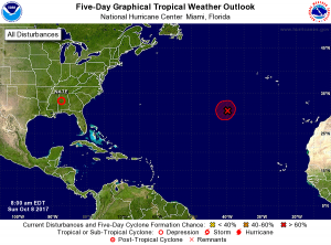
While Nate weakens, another system is expected to organize and intensify over the open waters of the central Atlantic Ocean. Shower activity associated with a nearly stationary low pressure system located about 750 miles southwest of the Azores has changed little since yesterday. However, according to the National Hurricane Center, this low still has the potential to become a subtropical or tropical cyclone later today before environmental conditions become unfavorable for development by tomorrow. The National Hurricane Center believes there’s a 70% chance that a cyclone will form here over the next 48 hours. If it were to become a named cyclone, it would be called Ophelia. Even if a cyclone were to develop here, it will likely remain over the ocean and not be a threat to any landmass.