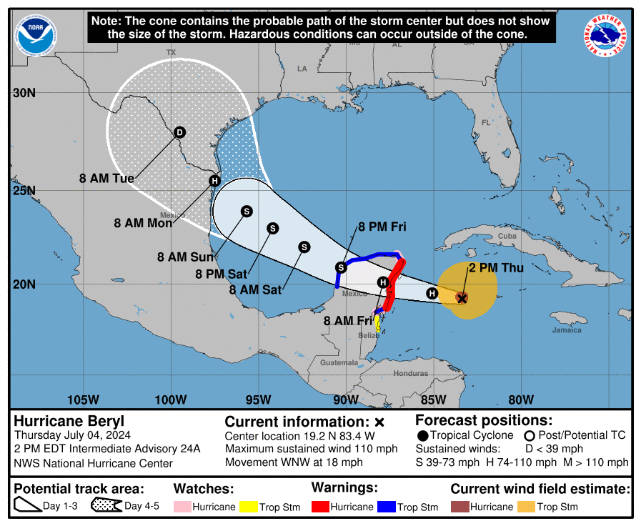
Hurricane Beryl, which brought devastating impacts across portions of the Caribbean in recent days, is likely to bring impacts to the U.S. soon too, with Texas likely to see rain and wind from the storm as soon as Monday. The storm needs to pass across the Yucatan Peninsula first, but the National Hurricane Center (NHC) forecast track brings the center of Beryl to the Mexico/Texas border by early Monday morning, with rain and wind arriving in advance of the storm.

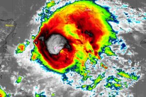
Right now, Beryl is moving across the northwestern Caribbean Sea, located about 135 miles west of Grand Cayman and about 275 miles east-southeast of Tulum, Mexico. The maximum sustained winds of the hurricane are 110 mph while the minimum central pressure is 974 mb or 28.76″.
Strong winds, dangerous storm surge, and damaging waves are expected on the coast of the Yucatan Peninsula of Mexico by early Friday.
The NHC is sharing these four key messages:
- Strong winds, dangerous storm surge, damaging waves, and areas of flooding are occurring in the Cayman Islands where a Hurricane Warning remains in effect.
- Hurricane-force winds, dangerous storm surge, and heavy rainfall are expected over portions of the Yucatan Peninsula beginning tonight as Beryl approaches that area as a hurricane. Hurricane and Tropical Storm Warnings are in effect for portions of that area.
- There is an increasing risk of strong winds, storm surge, and heavy rainfall in portions of northeastern Mexico and southern Texas later this weekend. Interests in these areas should closely monitor the progress of Beryl and updates to the forecast.
- Rip currents could cause life-threatening beach conditions beginning late Friday and continuing through the weekend across much of the Gulf coast.