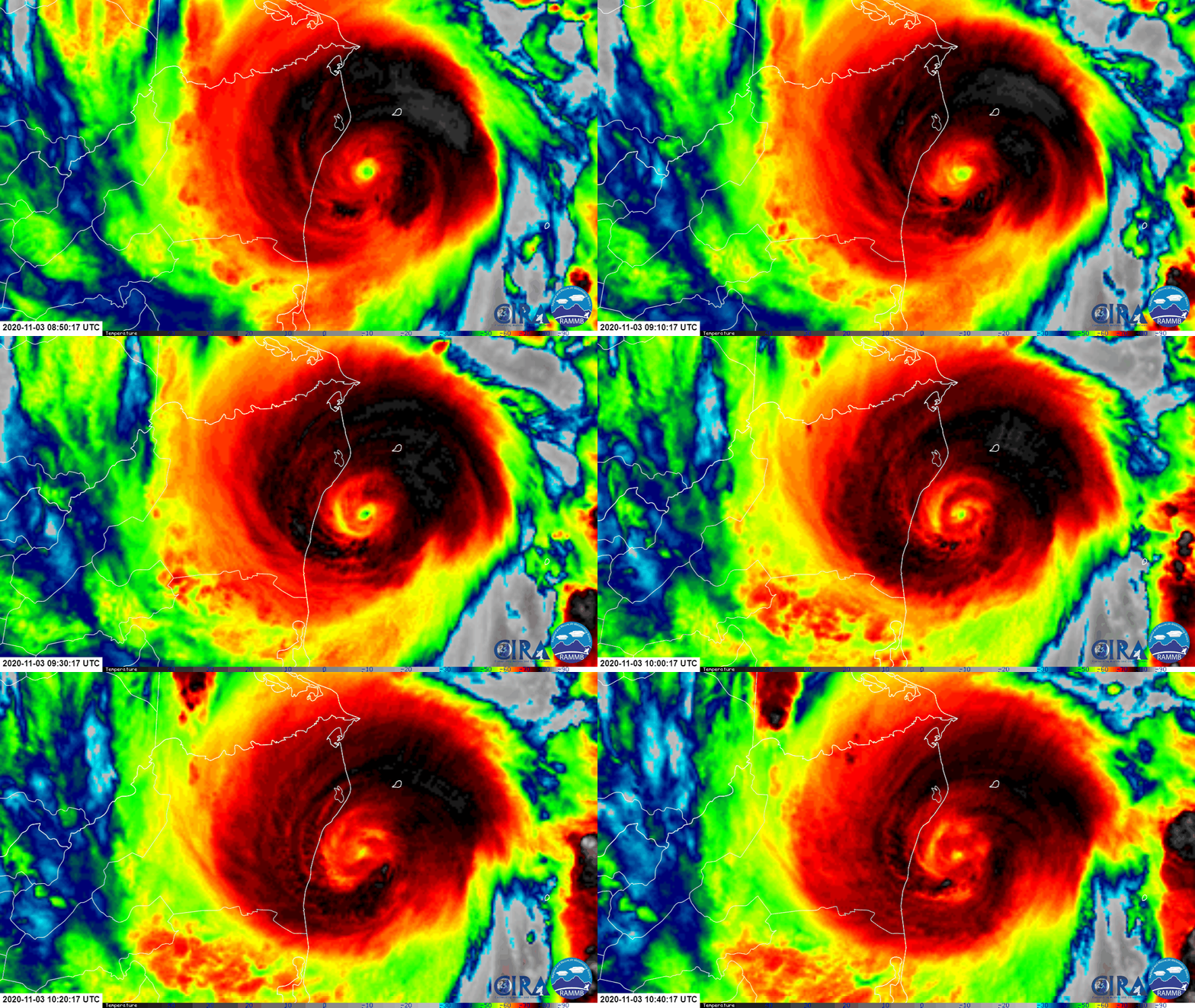
A catastrophe is imminent in Central America today as powerful Major Hurricane Eta inches closer towards the Nicaragua coast. Eta is expected to rival 1998’s Hurricane Mitch which killed more than 11,000 in Central America; in Honduras alone, 35,000 homes were destroyed, 50,000 were badly damaged, and 1.5 million people became homeless, translating to roughly 20% of the country’s entire population at the time. Eta is forecast to lash the region with catastrophic winds, a lethal storm surge, and epic, flooding rains.
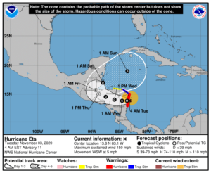
As of the latest advisory from the National Hurricane Center (NHC) in Miami, Florida, Eta was located just 25 miles southeast of Puerto Cabezas, Nicaragua; with pressure down to 923 mb, Eta has maximum sustained winds of 150 mph making it just a few miles per hour shy of full Category 5 status on the Saffir Simpson wind scale. These winds will destroy many to most structures impacted by the storms’ eyewall at landfall.

Eta is forecast to bring 15-25″ or more of rain to the region which will lead to catastrophic, life-threatening flash and river flooding. Landslides are also expected in the higher terrain of Central America. Flooding is also possible far from the storm center across Jamaica, southeast Mexico, El Salvador, southern Haiti, and the Cayman Islands.
A dangerous storm surge will raise water levels by as much as 14-21 feet above normal tide levels in areas of onshore winds. The surge will be accompanied by large and destructive waves that’ll conspire together to erase shore communities from maps.
Eta is moving west-southwest now into Nicaragua, but is forecast to curve around back over open waters in the coming days. The current west-southwest drift at 5 mph is forecast to turn to the west or even west-northwest later today through Thursday as it moves from Nicaragua into Honduras. By Saturday morning, it is expected to re-enter the Caribbean Sea in a weakened state, only to re-intensify back to tropical storm status by late Saturday night or early Sunday morning south of Cuba.
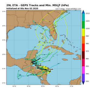
From there, a significant degree of doubt remains with the future progress from this storm. Global forecast models such as the American GFS and European ECMWF each suggest Eta will eventually impact the United States, but how and when remains very different between the models and their recent runs. Some model guidance suggests Eta will become a powerful, high-end hurricane once again in the Caribbean before threatening a fresh round of coastal communities.

With so much question in the extended forecast, it is imperative that people in Florida and the U.S. Gulf Coast closely monitor this storm in the coming days. By next week some time, Eta could become a U.S. threat.