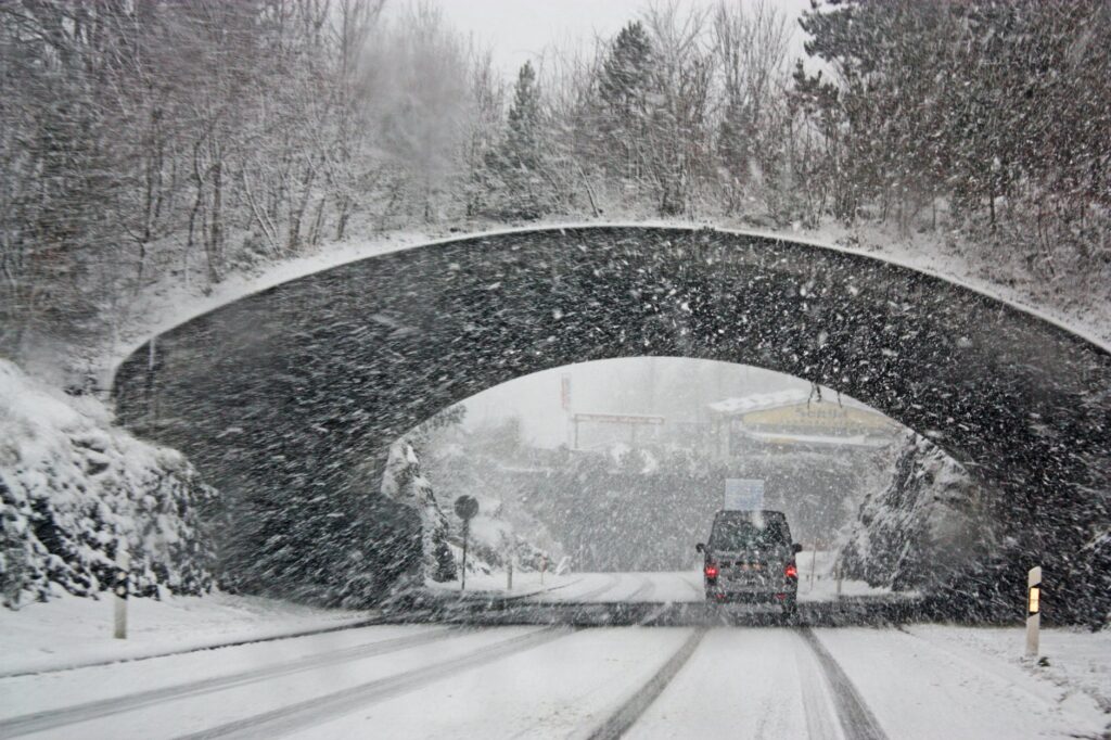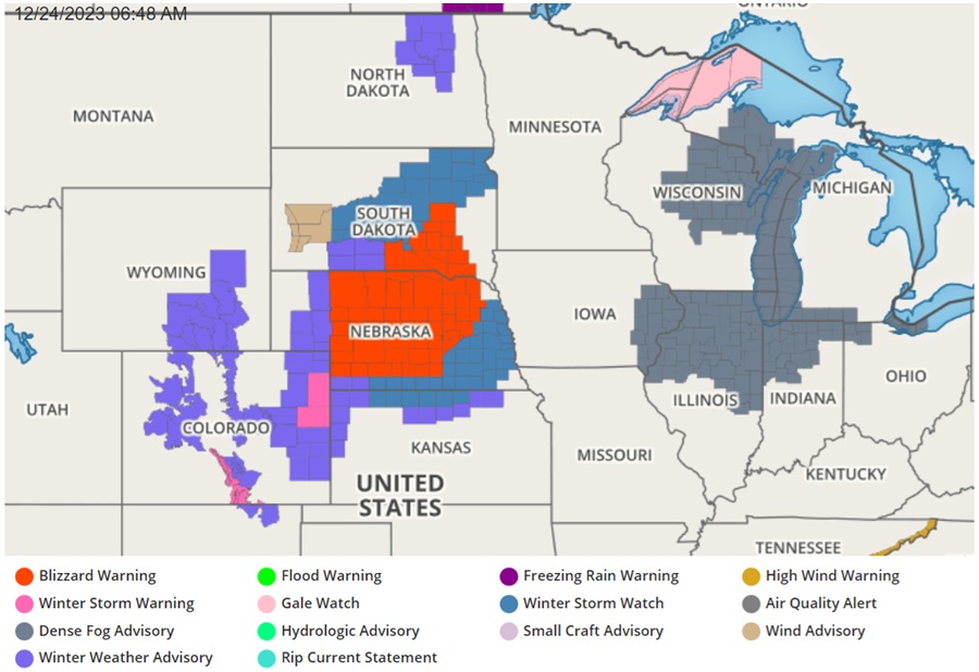
The Christmas Eve forecast from the National Weather Service has prompted the issuance of Blizzard Warnings for high winds, falling and blowing snow, and drifting of snow for portions of Nebraska and South Dakota. A significant winter storm is forecast to impact parts of the Central Plains and upper Midwest for both today and Christmas Day, resulting in a White Christmas and treacherous travel.
In the expansive Blizzard Warning zone, winds gusting as high as 55 miles per hour along with total snow accumulations of 9-16″ are expected.
“Travel could be very difficult to impossible,” warns the National Weather Service, “Widespread blowing snow could significantly reduce visibility. The hazardous conditions will impact travel. Strong winds could cause extensive damage to trees and power lines.”
A low pressure system currently developing over the central Plains in conjunction with an amplifying upper-level trough dipping into the northern Plains are setting the stage for more active weather to come across much of the central to eastern U.S. just in time for Christmas holiday activities through the next couple of days.
Warm and moist air from the Gulf of Mexico is streaming northward across the western Gulf Coast region into the southern and central Plains ahead of the developing low pressure system, producing widespread moderate to heavy rainfall from the upper Texas coast to the Louisiana coast while bands of heavy rain with embedded thunderstorms are marching eastward across Kansas, Oklahoma and Texas ahead of a cold front this Sunday morning.

Meanwhile, a cold air mass from Canada is dipping into the northern portion of the U.S. Areas of snow over the central Rockies are beginning to extend northeast into the central Plains toward the northern Plains behind the low pressure system. The complex interaction among the low pressure system, the upper-level trough, and the cold air mass is forecast to kick the entire system farther east toward the Mississippi Valley by tonight, before a more rapid intensification of the low pressure system expected to take place over the western portion of the Midwest by Christmas Day.
A swath of showers and thunderstorms ahead of the cold front will steadily shift eastward through the Deep South, reaching into the Southeast by Christmas Day. The highest threat of heavy rain and flash flooding is expected to likewise shift eastward while remaining near the Gulf Coast. Less rainfall is expected farther inland. By Monday night into Tuesday morning, the rain and embedded thunderstorms should slow their progression over the Southeast while spreading farther north into the Appalachians, Ohio Valley, and the upper Midwest.
As the low pressure system begins to intensify more rapidly Monday night into Tuesday morning, strong and gusty winds are expected to increase and expand across the north-central U.S. With cold air being wrapped around this intensifying storm, the chance of a blizzard has continued to increase across the northern Plains, with Monday night to Tuesday morning being the estimated time frame for the most impactful conditions to occur.
While over a foot of snow can be expected along with gale force winds in the Blizzard Warning zones, icing will likely be an issue farther east and northeast from the northern Plains to Minnesota during this period.
While the Midwest will deal with blizzard conditions and the southeast will deal with soaking showers and storms, the northeast will be relatively mild with a period of rain showers expected in the days after Christmas. It is unlikely there will be any significant snowstorm in the northeast before the end of the year.