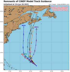
Tropical Storm Cindy faded away yesterday, but the National Hurricane Center (NHC) is cautioning that its remnants could regenerate in the coming days. In face, global computer forecast model guidance suggests it would regain its tropical cyclone characteristics later this week and eventually impact the northeastern United States or the Canadian Maritimes along the northeastern North American coast.


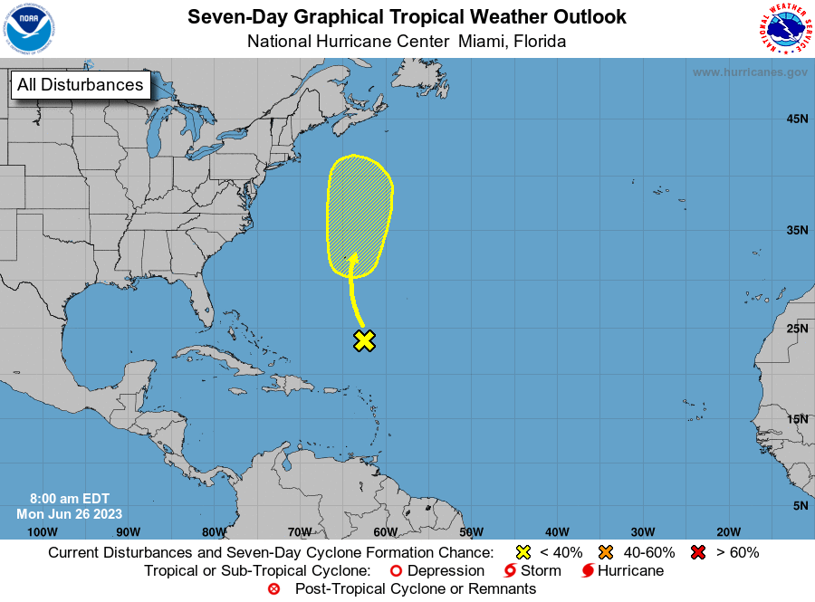
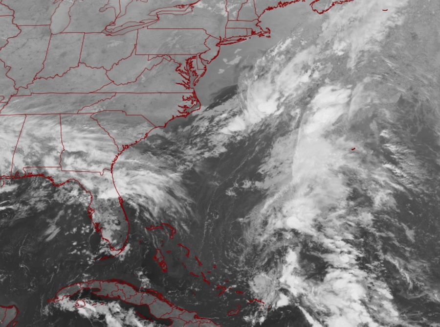
According to the NHC, a surface trough of low pressure, associated with the remnants of Cindy, is producing disorganized showers and thunderstorms more than 500 miles to the south-southeast of Bermuda. While strong upper-level winds are expected to prevent redevelopment of this system over the next couple of days, environmental conditions could then become a little more favorable for some gradual redevelopment during the latter part of this week. The NHC says that this system is forecast to move generally northward into the northwestern Atlantic Ocean, passing near Bermuda on Thursday. Right now the NHC believes there’s a 30% chance that Cindy will regenerate in the Atlantic over the next 7 days.
Global computer forecast has also been consistently calling for regeneration of Cindy later this week. Both the American GFS and European ECMWF computer models suggest regeneration, with some runs of each suggesting impacts to Maine or Nova Scotia with the storm at tropical storm strength.
Elsewhere in the Atlantic Ocean, the NHC expects no other tropical or subtropical cyclone to take shape over the next 7 days.
The 2023 Atlantic Hurricane Season runs through to the end of November.