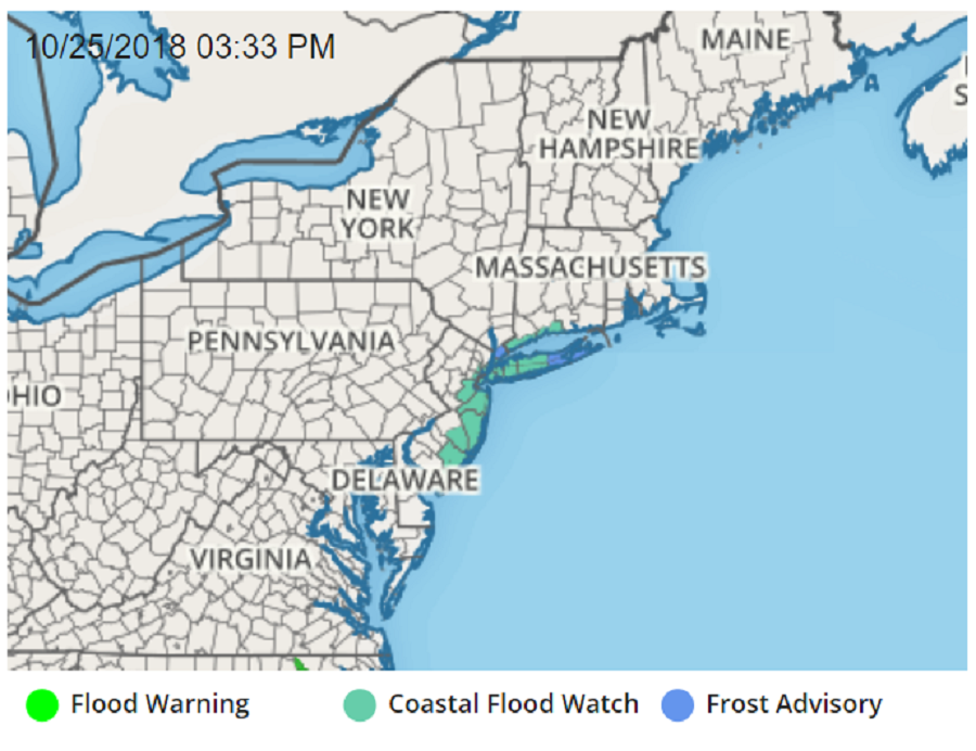
A potent nor’easter is expected to impact portions of the Mid Atlantic and Northeast this weekend. In addition to heavy rain and strong winds, the threat of coastal flooding is building as the nor’easter takes shape. Due to the threat of coastal flooding, the National Weather Service has issued a Coastal Flood Watch for portions of New Jersey, New York, and Connecticut for Saturday morning. High tides will run 2-3 feet above normal in these areas, inundating areas that are typically dry.
A Coastal Flood Watch means that conditions favorable for flooding are expected to develop and steps should be taken to protect life and property from rising waters. The National Weather Service encourages coastal residents to follow the recommendations of local emergency management officials. The National Weather Service also cautions, “At this level, widespread flooding of roadways is expected with many roads becoming impassable. Lives may be at risk when people put themselves in harm`s way. Some damage to vulnerable structures may begin to occur.”
In southern New Jersey, the morning high tide cycle will be the most ominous. In Atlantic City, Ocean City, and Cape May Harbor, the 10am high tide cycle on Saturday morning is expected to produce a moderate coastal flooding event.Waves at the oceanfront will also be 7-10 feet tall; even the most experienced swimmers and surfers should avoid the coast until the storm has passed.
In central New Jersey, the morning high tide cycle will also be problematic for additional communities. According to the National Weather Service, in Ocean County, roadway flooding is possible on Long Beach Island, Seaside Heights, Point Pleasant Beach and other locations near Barnegat Bay. In Middlesex County, road flooding is possible in Woodbridge Township, Perth Amboy, Old Bridge Township, and South Amboy.While minor flooding is expected at Barnegat Light, moderate flooding is expected at Perth Amboy, Sandy Hook, and Manasquan.
In northern New Jersey and the New York City metro area, coastal flooding will occur. Here, tides 2-2.5 feet above normal will inundate areas at the waterfront; some local 3 foot surges are possible too. Breaking waves of 7 to 11 feet along the ocean shoreline will result in widespread beach flooding and erosion with minor damage possible to dune structures during times of high tide Saturday morning and Saturday Night, possibly into Sunday morning. The Battery, Jamaica Bay, Bergen Point, and Rockaway Inlet are all forecast to flood.
Western portions of the Long Island Sound in New York and Connecticut will also see flood conditions. Water will rise 2.5-3.5 above astronomical tides, with the worst arriving during Saturday morning high tide cycles too. In this area, the National Weather Service warns that this flooding “will result in numerous road closures and cause widespread flooding of low lying property including parking lots, parks, lawns and homes/businesses with basements near the waterfront. Vehicles parked in vulnerable areas near the waterfront will likely become flooded. Flooding will also extend inland from the waterfront along tidal rivers and bays.” Beyond the Saturday morning flood threat, some additional minor coastal flooding is possible during the times of high tide Saturday Night and Sunday morning. Beyond coastal flooding, the water will also be rough. Breaking waves of 3 to 4 feet along north and east facing shorelines of Long Island Sound will result in beach flooding and erosion with localized splash over on shoreline properties and roads possible during times of high tide Saturday afternoon.
The southern and eastern bays of Long Island, including the ocean shoreline communities and twin fords of Long Island, will also see flooding. Widespread flooding of vulnerable areas near the waterfront and shoreline is possible during the times of high tide Saturday morning into Saturday afternoon, resulting in 2 to 2 1/2, locally 3 feet, of inundation above ground level in low lying, vulnerable areas. Additional minor coastal flooding is possible in these areas during the times of high tide Saturday Night and Sunday morning. Beyond flooding, breaking waves of 8 to 12 feet along the ocean shoreline will result in widespread beach flooding and erosion with minor damage possible to dune structures during times of high tide Saturday morning and Saturday Night, possibly into Sunday morning.
