Significant earthquakes continue to rock the island of Puerto Rico; new data shared by NASA shows the abundance of earthquakes is pushing the island closer to the continental United States than it was before.
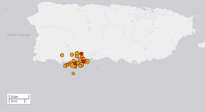
Thousands of earthquakes have hit around the south coast of the island in the last few weeks. In the last 30 days, there have been 1,769 quakes with a magnitude of 1.5 or greater; in the last 7 days, there were 493, and in the last 24 hours there were 38. The strongest earthquake today was a 4.1 located near Guanica; the strongest this week was a 5.9 in Maria Antonia; the strongest this year and the strongest of the swarm was a 6.4 that stuck near Tallaboa. The area is seismically active; more than 4,900 earthquakes shook the area in the last 365 days, but there was a definite uptick in activity beginning in the end of December.
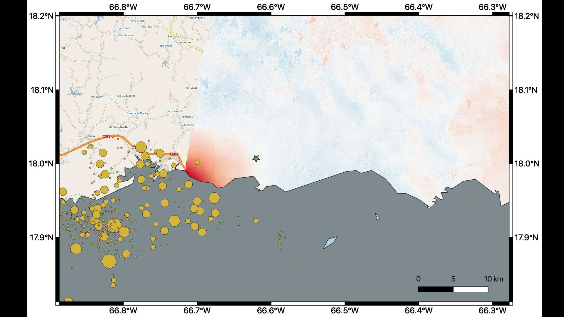
Beyond extensive damage, injuries, and at least one reported death, the recent earthquakes have shifted portions of Puerto Rico a bit to the west. NASA scientists are using satellite data to help federal and local agencies identify areas with potential damage. By comparing interferometric synthetic aperture radar (InSAR) data acquired on January 9, 2020, with data acquired on December 28, 2019, from the European Space Agency’s (ESA) Copernicus Sentinel-1A satellite, the scientists were able to map where, how much and in what direction those changes to the landmass occurred.

In a map shared by NASA’s Jet Propulsion Laboratory, red indicates areas where the ground was changed, or displaced, with darker shades corresponding to more significant displacement. The scientists found that the greatest displacement from the flyover area occurred west of the city of Ponce, not far from the 6.4 earthquake’s offshore epicenter. Through this analysis, they determined that there was up to 5.5 inches of ground movement to the west, inching it closer to the Dominican Republic, Haiti, Cuba, and the continental United States.
To keep local residents and emergency managers informed of earthquake possibilities, the USGS has been issuing earthquake forecasts for the area. Based on last night’s updated forecast, USGS says there’s only a 4% chance of an earthquake with a magnitude of 6.4 or greater in the area. They believe there’s a 79% chance that aftershocks less than 6.4 will occur in the area over the next 30 days, although warn that some may be damaging quakes in excess of 5.0. One 5.2 quake did strike yesterday morning near San German.
USGS also says a “doublet” could occur. A doublet occurs when two large earthquakes of similar size occur closely in time and location. USGS says there’s an 18% chance that the first 6.4 earthquake was the first in a pair of another 6.4 quake that could strike sometime in the coming days and weeks.
USGS says for now, it isn’t very likely an even stronger quake will strike the area. Saying there’s only a 3% chance of a larger quake, USGS says, “A much less likely scenario than the previous two scenarios is that recent earthquakes could trigger an earthquake significantly larger than the M 6.4 that occurred January 7, 2020. While this is a small probability, if such an earthquake were to occur, it would have serious impacts on communities nearby.”