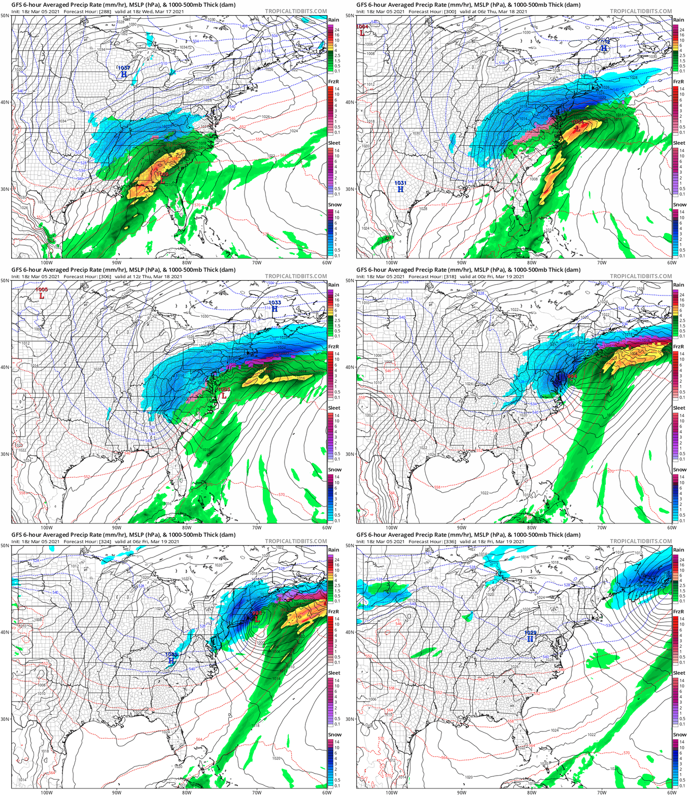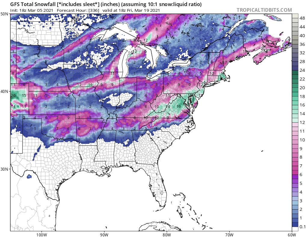
There’s been a flurry of concern over recent model output suggesting that a mid-March snowstorm would form over the eastern United States. Images and forecast loops have gone viral, with some online weather afficiandoes calling for more than a foot of snow in portions of the Mid Atlantic and New England. However, like many snow flurries do, the speculation of a larger storm threat is fizzling-out.
Every now and then a forecast model run suggests a high impact scenario that often doesn’t come to fruition. In the summer and fall, models will sometimes suggest the rapid intensification of tropical cyclones that don’t pan out. And in the winter and early spring, some model output will suggest that a blockbuster storm will strike heavily populated regions. As with the strong hurricanes they dream-up during the summer, the models can be just as flawed with snowstorms that never develop the way they suggest they will in other parts of the year.

While meteorologists have many tools at their disposal to create weather forecasts, two primary global forecast models they do use are the ECMWF from Europe and the GFS from the United States. While the models share a lot of the same initial data, they differ with how they digest that data and compute possible outcomes. One is better than the other in some scenarios, while the opposite is true in others. No model is “right” all the time. Both of these global models depict surface conditions well into the future.

Yesterday evening, the American GFS forecast model run (18z) suggested that a potent area of low pressure would form over the southeastern United States around March 18/19 and move north and east, intensifying into a potent nor’easter as it advanced up the coast. If it were to verify, heavy, accumulating snow would blanket the I-95 corridor from Virginia to Boston. However, this model run was alone in such an assessment. Earlier and later GFS model runs did not show the same storm scenario. The European ECWMF model is depicting an entirely different environment all together, with an area of low pressure over the Midwest advancing into the Great Lakes Region.
Today, the American GFS forecast model has put forth another mid-March scenario. Rather than develop a snowstorm into the Mid Atlantic for March 18/19, it now shows a soaking rain storm moving up the coast around March 20. It is likely even today’s model run will significantly change again in the days ahead, putting certain doubt in any mid range forecast for the next 2 weeks.
March has had its fair share of historic winter storms in past years. (See: March 2021 Blizzard? for a review of historic March storms.) And it’s too soon to tell whether this March will feature one such storm. However, two things remain clear: First, there is no immediate threat of any such storm happening over the next 5 days. While some rain and snow is possible, the current pattern does not support any blockbuster event to unfold in the short term. Second, models will occasionally show an epic storm unfolding and those images could become viral on-line. People should put their faith in time-trusted meteorological resources. If forecast model and other data is consistent in calling-out a storm signal, reliable meteorological outlets will share that informed knowledge with the public.