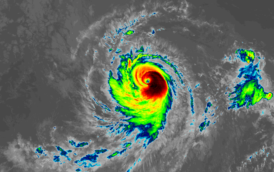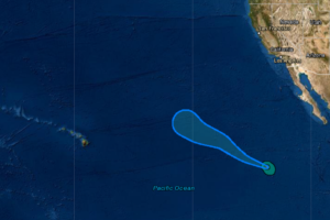
Hurricane Marie continues to gain strength in the eastern Pacific Ocean and is forecast to become a Major Hurricane with winds in excess of 110 mph soon. The storm, located now about 895 miles southwest of the southern tip of Baja California, is forecast to pass over open waters between Hawaii and the U.S. West Coast in the coming days.
According to the National Hurricane Center in Miami, Florida, maximum sustained winds have increased to near 110 mph with higher gusts. Additional strengthening is expected during the next day or two. However, weakening is forecast to begin by Friday night or
Saturday.

For now, Marie is moving toward the west near 16 mph. Over the next several days, Maria should begin to turn to the west-northwest and then eventually northwest, slowing down as it moves across the Pacific. Current forecast guidance is suggesting that Marie will be swept well north of the Hawaii Island chain, keeping its moisture and wind field well away from the Aloha State with time. However, several days need to pass to confirm whether such guidance is accurate.
As is the case along the U.S. Gulf and East coasts, residents of Hawaii should keep a watchful eye for this and other possible tropical cyclone threats in the coming weeks. The 2020 hurricane season ends in the Central Pacific and Atlantic hurricane basins on November 30.