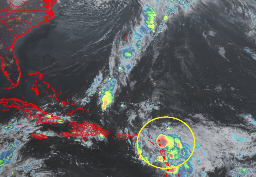
Hurricane Tammy has gained some strength since yesterday as it lashes portions of the Leeward Islands with strong winds and heavy rains. With the storm on the move, some advisories issued by local governments have changed.
As of the latest update from the National Hurricane Center (NHC), Tammy is 35 miles east-southeast of Antigua and about 50 miles north of Guadeloupe. With maximum sustained winds of 85 mph, the storm is moving to the north-northwest at 10 mph. Minimum central pressure is down to 988 mb or 29.18″.
The government of France has discontinued the Hurricane Warning for Guadeloupe, and has discontinued the Tropical Storm Watch for Martinique.
However, a Hurricane Warning remains in effect for Antigua, Barbuda, Montserrat, St. Kitts, Nevis, Anguilla, St. Maarten, St. Martin, and St. Barthelemy. A Hurricane Watch is in effect for Saba and St. Eustatius. A Hurricane Warning means that hurricane conditions are expected somewhere within the warning area, in this case within the next 24 hours. Preparations to protect life and property should be rushed to completion. A Hurricane Watch means that hurricane conditions are possible within the watch area, in this case within the next 24 hours.
A Tropical Storm Warning is in effect for Saba and St. Eustatius while a Tropical Storm Watch is in effect for the British Virgin Islands. A Tropical Storm Warning means that tropical storm conditions are expected somewhere within the warning area. A Tropical Storm Watch means that tropical storm conditions are possible within the watch area.
Tammy is moving toward the north-northwest now and the NHC says this general motion is expected through Sunday, followed by a turn toward the north on Monday. On the forecast track, the center of Tammy will move near or over portions of the Leeward Islands through early Sunday, and then move north of the northern Leeward Islands by Sunday afternoon. As it heads more north, the NHC says slow strengthening is possible during the next few days.