A powerful winter storm will move through the Aloha State of Hawaii from west to east starting tomorrow and wrapping up Friday, prompting the National Weather Service in Honolulu on the island of Oahu to issue numerous watches and advisories across the islands in the state. One such advisory up is a Winter Storm Watch, where up to 8″ of snow is forecast for the higher elevations of the Big Island of Hawaii.
A strengthening low approaching the state from the northwest is responsible for the harsh winter weather expected across the island chain state. This strong winter low pressure system will pass just north of Kauai on Thursday, with a cold front advancing down the island chain Thursday through Friday. The threat of flash flooding, damaging south to southwest winds, and strong to severe thunderstorms will accompany the front. Conditions will quickly improve behind the front Friday night into the weekend, continuing through early next week.
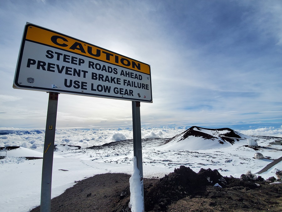
Before the clear-out Friday night, a potentially significant event will evolve across the state, with impacts ranging from damaging southwest winds, to strong to severe thunderstorms and flash flooding. Additionally, deep convection will support the potential for periods of heavy snow over the Big Island Summits late Thursday through Friday.
Due to the severe impacts forecast, the National Weather Service has issued many advisories. A High Wind Watch and Flood Watch is in effect state-wide. The National Weather Service warns, “Strong winds may lead to property damage. Hazardous driving conditions due to powerful cross winds will pose a serious risk for drivers, especially for light weight and high profile vehicles. Loose outdoor items should be brought inside or secured properly.” With regards to flooding, the National Weather Service says, “Flood prone roads and other low lying areas may be closed due to elevated runoff and overflowing streams. Urban areas may receive more significant flooding and property damage due to rapid runoff.”
On the higher elevations of the Big Island, a High Wind Warning is already in effect; a Winter Storm Watch is also in effect there for expected wintry precipitation beyond the severe winds. Periods of heavy snow and ice accumulations are possible there, with snow accumulations ranging from 4-8″ possible. A light glaze of ice is also possible on wet surfaces as temperatures drop below freezing there. The Winter Storm Watch begins late tonight and lasts through Friday morning. The National Weather Service said, “Travel could be very difficult to impossible. Blowing snow will significantly reduce visibility at times, with periods of zero visibility.” A Winter Storm Watch means there is potential for significant snow or ice accumulations that may impact the summits. “Anyone planning travel to the summits, including hikers and campers, should monitor the latest forecasts and consider postponing their trip until improved weather returns,” cautions the National Weather Service.
The State’s electrical provider, Hawaiian Electric, issued a statement yesterday recommending that customers “check their emergency preparations and prepare for the possibility of power outages.” They added, “The company urges customers to review family and business emergency plans, ensure they have supplies they need on hand, and keep close watch on the development of the storm. Preparation and safety tips are available at hawaiianelectric.com/stormcenter.”
Move over Houston, New Orleans, and Pensacola! It’s time for Hawaii to get some heavy snow from a winter storm moving through the island chain as the week ends: pic.twitter.com/mkaM4kvjlR
— the Weatherboy (@theWeatherboy) January 29, 2025
