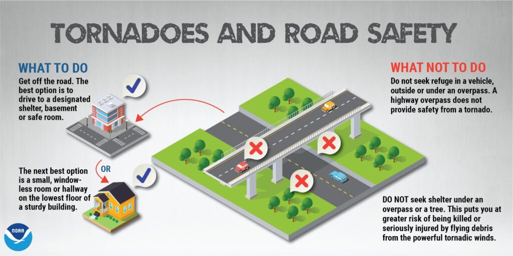
A significant severe weather outbreak which brought deadly and destructive tornadoes to eastern Texas yesterday is pushing east, with severe storms and more tornadoes impacting the southeast today.
Severe thunderstorms, associated with a threat for tornadoes, wind damage and hail, will be possible today from the eastern Gulf Coast northward into the Carolinas. More isolated severe storms may occur across parts of the central Appalachians and Ohio Valley.
A large-scale mid-level trough will move northeastward through the Tennessee Valley and central Gulf Coast states today, as a cold front advances eastward into the southern Appalachian Mountains and eastern Gulf Coast states. At the start of the period, a line of strong thunderstorms will be ongoing from northwestern Georgia into southeast Alabama. This line could have an isolated wind-damage potential. This morning, surface temperatures will warm ahead of the line allowing for weak destabilization across much of eastern Georgia and the Carolinas.
According to the National Weather Service’s Storm Prediction Center (SPC), more organized parts of the line should be able toeasily mix the stronger winds to the surface, and result in severe wind gusts with the more intense parts of the line.
Tornadoes will be most likely with rotating storms that develop within the line in areas that destabilize the most. The threat is expected to continue into the early to mid afternoon as the line moves into central North Carolina and eastern South Carolina.