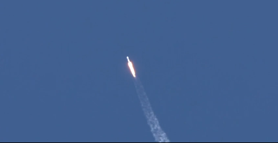
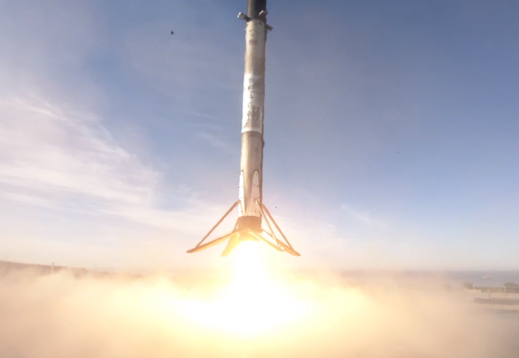
At 9:17am this morning from Vandenberg Air Force Base in California, SpaceX successfully launched the Sentinel-6 Michael Freilich Earth-observing satellite into space. Moments after the SpaceX Falcon 9 rocket launched, the first stage booster returned to Vandenberg, completing its round-trip journey to deploy Sentinel-6.
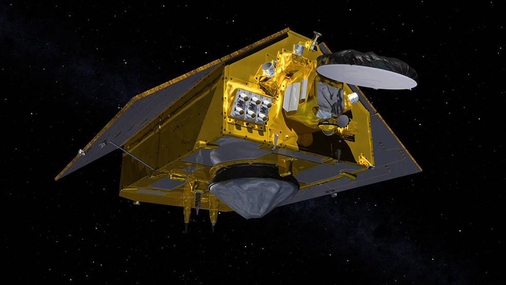
Known as the “Sentinel-6 Michael Freilich”, it and its twin satellite, the Sentinel-6B, make up the Sentinel-6/Jason-CS mission, which was developed by ESA (European Space Agency), the European Organisation for the Exploitation of Meteorological Satellites (EUMETSAT), NASA, and the National Oceanic and Atmospheric Administration (NOAA), with funding support from the European Commission and technical support from France’s National Centre for Space Studies (CNES).
Named after former NASA Earth Science Division Director Michael Freilich, the U.S.-European satellite was launched today at Space Launch Complex 4 East at the Vandenberg Air Force Base in central California. It’s been a busy week for Space X; just days ago, they made history by launching 4 astronauts to the International Space Station on the first crewed commercial spaceflight after completing a successful demo flight earlier this year.
With data captured by #Sentinel6, scientists hope to improve medium and long range weather forecast models, improve tropical cyclone forecasts, better understand the #LaNina & #ElNino phenomena, and measure any changes that occur around the planet with sea levels.#Sentinerds pic.twitter.com/MQfpLcDmVd
— the Weatherboy (@theWeatherboy) November 21, 2020
The Sentinel-6 mission satellites will help inform scientists on Earth of changes with the planet’s atmosphere and oceans. Instruments aboard the satellites will provide atmospheric data that will improve medium and long range weather forecasts, climate models, and hurricane tracking. The satellites will also help measure sea level height on a global scale, able to detect any changes that may be occurring as the planet evolves.
The Sentinel-6 mission, when fully deployed, will map 95% of the Earth’s ice-free ocean every 10 days. It’ll also collect valuable information on ocean currents, wind speed, and wave height.
Data collected by the satellites will be processed and shared by the European Copernicus program. Copernicus is the new name for the Global Monitoring for Environment and Security program, previously known as GMES. Headed by the European Commission in partnership with the European Space Agency, Copernicus provides free data to users worldwide.
Sentinel-6 data will join data from other Sentinel satellites to help inform Copernicus users of what’s what with the planet. Sentinel 1A and 1B launched in April of 2014 and April 2016 respectively, providing day and night weather RADAR imagery. Sentinel 2A, which launched in June of 2015, provides high-resolution optical images of land; it was joined by it’s twin, the 2B in March of 2017. The Sentinel 3A was launched in February of 2016 and provides ocean and land data for Copernicus; it’s twin, 3B was launched in April 2018. The Sentinel 5P was launched in October 2017 and monitors the atmosphere. Sentinel-4 hasn’t launched yet; it’s scheduled for 2023 and will provide data on atmospheric composition. Sentinel-5 will also provide data on atmospheric composition when it launches next year.
According to ESA, Copernicus “provides a unified system through which vast amounts of data are fed into a range of thematic information services designed to benefit the environment, the way we live, humanitarian needs and support effective policy-making for a more sustainable future.”
