The first full week of June will feature a stormy start to an unsettled week for a large part of the country.
Technically, mid-level cyclonic perturbations, one amplifying over the Great Lakes region to the upper Ohio Valley, and the othercomposed of multiple vorticity maxima spreading from Texas to the lower Mississippi Valley, will come together over portions of the eastern and southern United States over the next 24 hours. This will be marked by a modest strengthening of low-level baroclinicity from parts of the Ohio Valley region toward the mid-Atlantic region, with surface low pressure eventually deepening after moving off the Virginia coast.
As the phasing disturbances result in a broad-scale strengthening of mid/high-level flow across an extensive plume of relatively rich boundary-layer moisture stretching from the south-central states to the Southeast and then northward to parts of the Northeast, multiple areas of severe-thunderstorm potential will evolve. Meanwhile, some cross-Rockies component of the midlevel flow behind the phasing troughs will encourage lee surface cyclogenesis over the High Plains — accentuated across the northern High Plains by the glancing influence of deep ascent attendant to a midlevel shortwave trough tracking from the northern Rockies northeastward into adjacent Canada. As a result, recycled moisture will be advected into parts of the High Plains and as far west as parts of central Wyoming in support of some severe risk.

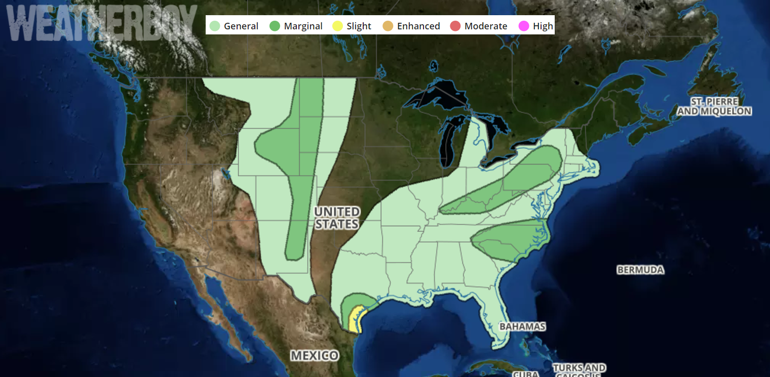
Due to the possibility of severe thunderstorms, the National Weather Service’s Storm Prediction Center has outlined a few areas in the country where severe weather is possible in their latest Convective Outlook. The greatest threat for severe weather is over south Texas. Thunderstorms are expected across much of the eastern United States from the Mississippi River Valley east, with the exception being New England where storms aren’t expected today. Within this area, North and South Carolina as well as an area just east of the Great Lakes over New York, Pennsylvania, southern Ohio, western West Virginia, and northern Kentucky are at risk for severe storms. Another area of severe thunderstorms is possible on the eastern edge of the Rockies.
Severe thunderstorms could contain strong wind gusts at or above 58mph, large hail to 1/4″ in diameter or greater, and/or isolated tornadoes. All thunderstorms, severe or not, could also contain very heavy rain and frequent, dangerous lightning.
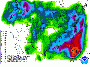
Beyond today’s severe weather threat, the eastern United States will be unsettled and wet this week, with drought-stricken Florida expected to see beneficial albeit flooding rains. While portions of New England and the Mid Atlantic could see 2 or more inches of rain this week, parts of Florida could see over a half-foot. The entire Sunshine State shouldn’t live up to its motto this week, with at least 2.5″+ rain expected state-wide. Most rain in the eastern US will fall from tomorrow through next weekend.
For those looking for a prolonged warm and dry stretch of weather in the eastern US, you’ll need to wait a bit longer to get out of this pattern.