• Skip to primary navigation
  • Skip to main content
  • Skip to primary sidebar

Weatherboy

Weatherboy Weather News, Maps, RADAR, Satellite, and Forecasts.

  • Local
  • Earth Science News
  • RADAR
  • Current Warnings
  • Satellite
  • Current Maps
  • Forecast Maps
  • Video

Third and Final Part of Wintry Mess Event to Produce Snow

by Weatherboy Team Meteorologist - January 14, 2018

The National Weather Service believes there's a high probability of snow in the green areas on this map, with darker shades reflecting a higher probability of heavier amounts. Image: NWS
The National Weather Service believes there’s a high probability of snow in the green areas on this map, with darker shades reflecting a higher probability of heavier amounts. Image: NWS

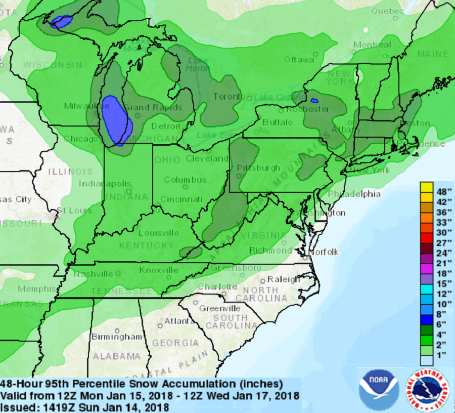
A three part wintry mess that saw the weather pattern evolve from a wet and mild one to a cold and icy one is about to conclude with a third event that is expected to produce light snow across portions of the eastern United States. High pressure centered in the Ohio River Valley this morning will move to the northeast and into Quebec, Canada for tonight and tomorrow. Low pressure, in the form of a Clipper System, is forecast to pass across the southern and eastern Great Lakes on Monday night and Tuesday. A secondary low is expected to develop off Cape Hatteras, North Carolina on Tuesday before moving northeast and passing near Cape Cod, Massachusetts on Wednesday. It is this secondary low that’ll produce snowfall for portions of the Mid Atlantic and New England during the middle part of the upcoming week.

This secondary low was initially forecast to blossom closer to the coast; if it were to do that, significant snow would fall within the I-95 corridor. At this time, it appears the system will intensify far enough off-shore to only produce light snow.


Once this third and final system exits, conditions will return to near-normal in the northeast.  High pressure from the west is forecast to build across the southeastern and Middle Atlantic states on Thursday and Friday before moving out to sea. With the high pressure system in place, it should be fair, dry, and seasonable for the region through the balance of the week.

Primary Sidebar

Sponsored Ad

Search

Latest News

  • Significant Winter Storm to Bring Heavy Snow, Rain, & Wind to Hawaii
  • Artic Plunge to Bring Lethal Temperatures, Damaging Winds to Northeast
  • New Satellite to Help Space Weather Forecasts Is Now Functioning and You Can Get the Data Yourself
  • Earthquake Swarm Building Near San Francisco in Time for Super Bowl LX
  • Earthquake Strikes Near Charleston, South Carolina where Worst East Coast Quake Struck
  • After Weather Delay, New Mechanical Issue Delays NASA’s Moon Mission
  • Earthquake Rattles Illinois Near St. Louis, Missouri
  • Groundhog Agrees with Climate Prediction Center: Many More Week of Winter Ahead
About | Careers | Contact | Contests
Terms | Privacy | Ad Choices
Weatherboy is a (R) Registered Trademark of isarithm LLC, All Rights Reserved.
All content herein is Copyright by Isarithm LLC 1997-2022

Insert/edit link

Enter the destination URL

Or link to existing content

    No search term specified. Showing recent items. Search or use up and down arrow keys to select an item.