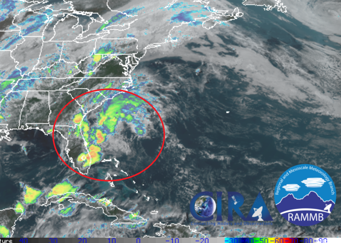
Meteorologists at the National Hurricane Center (NHC) that have been monitoring a tropical disturbance near Florida don’t believe it’ll blossom into a tropical storm or hurricane, but they warn heavy rain showers could be possible as it lingers around the Sunshine State and the southeast United States.
A surface trough and broad area of low pressure over northeastern Florida is producing a large area disorganized showers and thunderstorms over the far western Atlantic waters. According to the NHC, environmental conditions are not expected to be conducive for significant development of this system while it moves northeastward along the southeast coast of the United States through Saturday. Later this weekend, the system is expected to merge with a frontal system off the east coast of the United States and head away from the country.
Regardless of development, locally heavy rainfall is possible over eastern portions of the Florida peninsula and along the southeast United States coast during the next day or so. The National Weather Service continues to caution people: “Turn around, don’t drown; never drive through flood waters.” Some flooding is possible, especially in heavier showers associated with the disturbance moving through.
The 2019 Atlantic Hurricane Season officially kicks off on June 1, but systems do develop ahead of season from time to time.