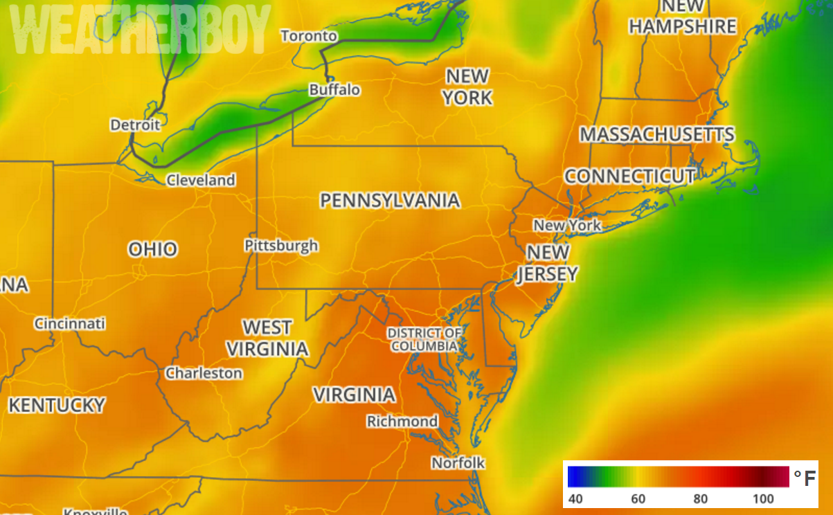
A very warm Easter Sunday is in the forecast for the Mid Atlantic and Northeast where high temperatures will surge into the low to mid 80’s. Some may want to ditch their Easter bonnets for a bathing suit with highs expected to hit 85 in Washington, DC Baltimore, MD, Philadelphia, PA, and New York City, NY.
High pressure will crest over our the Mid Atlantic later today and move off-shore this evening. A warm front will then lift north into New England during the day on Saturday. A cold front will push through the region Sunday night followed by a secondary weak cold front during Monday.
Low and its associated fronts will affect the weather this weekend. While it will not be a bad weekend weather-wise, there are some chances for rain showers Saturday and showers and storms for late Sunday as a cold front moves through. The chances for precipitation will be greatest during the PM hours on Sunday, but even then, shower and storm activity will have a hit-or-miss nature. Mild temperatures are expected in this region on Saturday with well above normal readings expected on Sunday before the cold front moves through.
Fair weather will move into the region on Monday as high pressure returns behind the last of the cold fronts. Temperatures will be somewhat cooler but still above normal on Monday before returning to seasonable norms on Tuesday.