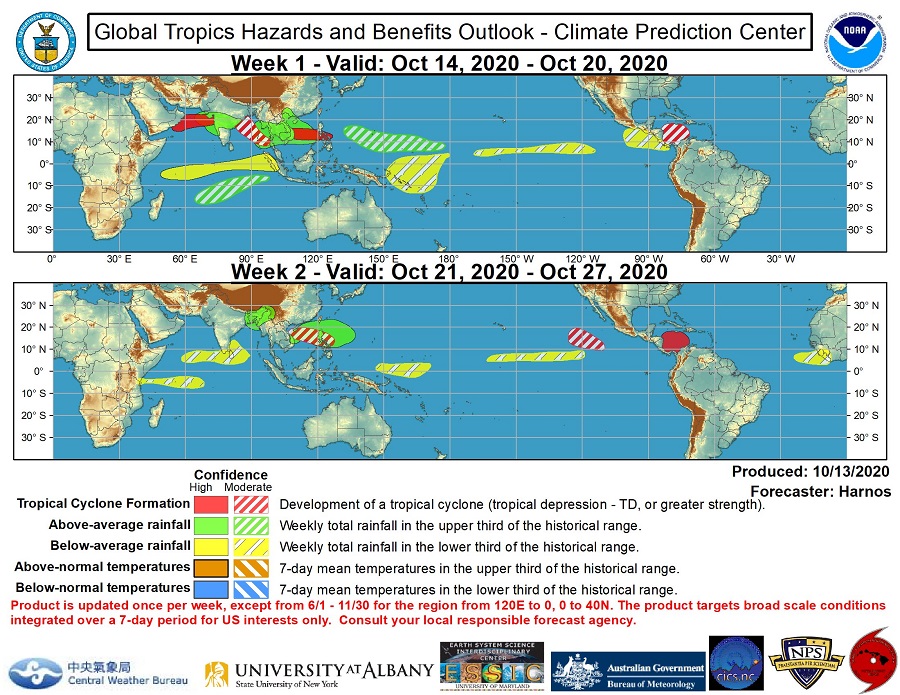
With just over 6 weeks left of the 2020 Atlantic Hurricane Season, concerns are growing that a tropical cyclone could attempt to form in the Caribbean, eventually sending such a storm system towards Florida, the Gulf Coast, or the Atlantic coast. Computer model forecast guidance that meteorologists use to aid in their weather predicting continue to paint different scenarios in which a tropical cyclone could form over or near the Caribbean in the next week or so.
For now, the National Hurricane Center is tracking a broad area of low pressure approaching the Lesser Antilles today. This disturbance continues to produce a large area of disorganized showers and thunderstorms, mainly to the east of its center. According to the National Hurricane Center, strong upper-level winds are expected to inhibit significant development while the system moves west-northwestward over the next couple of days. But even without immediate development, the system could produce locally heavy rainfall across portions of the central and northern Lesser Antilles today, the Virgin Islands and Puerto Rico on Thursday, and Hispaniola on Friday.

The American GFS and European ECMWF forecast models widely differ with how a storm system could take shape in this region with time. Until there is more data, more run-to-run consistency with the models, and more consistency from model to model, meteorologists will have low confidence in how this next tropical cyclone could form.
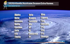
The 2020 Atlantic Hurricane Season runs through to the end of November. Should one form, the next named storm in the basin will be called Epsilon.