NOAA is forecasting that a “dead zone” will cover about 4,155 square miles of the Gulf of Mexico this summer as run off from agriculture and development in the middle of the United States makes it down to the Gulf Coast. The dead zone is a hypoxic area where the amount of oxygen is extremely low, leading to the death of fish and other marine life in the zone. NOAA says this phenomena occurs every summer and is primarily the result of excess nutrient pollution from various human activities in the Mississippi River watershed.
While the forecast dead zone is large, it is much smaller than in past years. The 4,155 square miles forecasted for this summer is well below the 5,364 square mile dead zone average over the last 36 years of record-keeping.
“NOAA hypoxia forecasts aim to provide coastal managers and stakeholders with the information they need to take proactive action to mitigate the impacts of hypoxic events,” said Nicole LeBoeuf, Assistant Administrator of NOAA’s National Ocean Service. “These forecasts also help managers set nutrient reduction targets necessary to reduce the frequency and magnitude of future dead zones.”
This is the sixth year NOAA has produced a dead zone forecast using a suite of models jointly developed by the agency and its partners, which include teams of researchers from the University of Michigan, Louisiana State University, William & Mary’s Virginia Institute of Marine Science, North Carolina State University, and Dalhousie University. NOAA integrates the results of these multiple models into an aggregate “ensemble” model forecast, which is released in coordination with these external groups, some of whom are also developing independent forecasts.
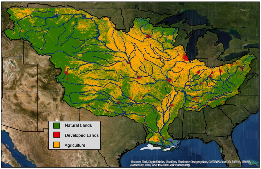
USGS measures river discharge and nutrient levels using more than 3,500 real-time streamgages, 73 real-time nitrate sensors and 37 long-term monitoring sites in rivers throughout the Mississippi-Atchafalaya watershed. These data are used to track long-term changes in nutrient inputs to the Gulf and to build models of nutrient sources and hotspots within the watershed.
“USGS monitoring of the Mississippi-Atchafalaya watershed provides valuable information on where sources contribute nutrients across the watershed,” said Don Cline, Associate Director for the USGS Water Mission Area. “This information can help guide management approaches to reducing nutrients in local rivers and ultimately in the Gulf.”
The Interagency Mississippi River and Gulf of Mexico Hypoxia Task Force has set a long-term goal of reducing the dead zone to 1,900 miles by 2035.
