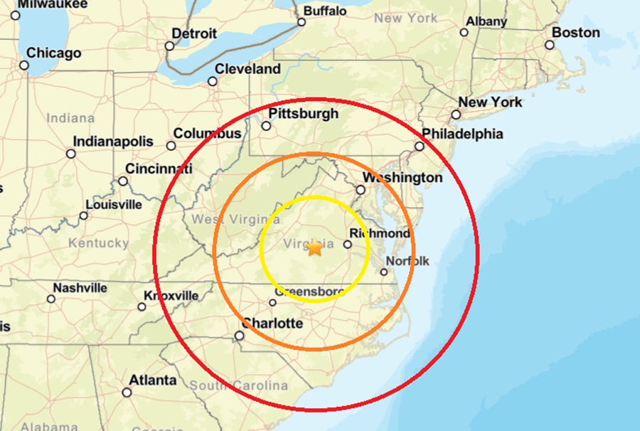
While USGS continues to report on earthquakes striking around the U.S. and the world around diverse places, another earthquake rattled central Virginia. According to USGS, more than 2,000 people used their “Did you feel it?” website reporting tool to report they felt shaking and/or heard noises associated with the earthquake. The earthquake struck at 1:07 pm on Tuesday afternoon, striking near the town of Dillwyn, half way between Richmond and Lynchburg in Virginia from a depth of 8 km. While the magnitude 3.0 earthquake generated a lot of reports of shaking, there were no reports of significant damages nor were there any reports of any injuries.
According to USGS, earthquakes with a magnitude of 2.0 or less are rarely felt or heard by people, but once they exceed 2.0 , more and more people can feel them. While damage is possible with magnitude 3.0 events or greater, significant damage and casualties usually don’t occur until the magnitude of a seismic event rises to a 5.5 or greater rated event.
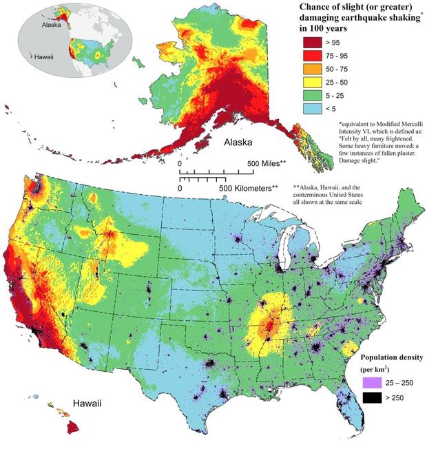
Virginia has a history of earthquakes, although they are generally not as strong nor frequent as in other regions of the United States like California. Virginia has experienced a number of significant earthquakes, including the Mineral earthquake of 2011.
On August 23, 2011, a magnitude 5.8 earthquake hit the Piedmont region at 1:51 pm. The epicenter, in Louisa County, was 38 miles northwest of Richmond and 5 miles south-southwest of the town of Mineral. It was an intraplate earthquake with a maximum perceived intensity of VIII (Severe) on the Mercalli intensity scale. Several aftershocks, ranging up to a magnitude 4.5 event, occurred after the main tremor.
That 2011 quake was felt across more than a dozen U.S. states and in several Canadian provinces, and was felt by more people than any other quake in U.S. history. No deaths and only minor injuries were reported. Minor and moderate damage to buildings was widespread and was estimated by one risk-modeling company at $200 million to $300 million, of which about $100 million was insured.
