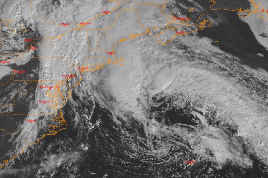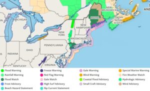
The remnants of what was once known as Tropical Storm Philippe are expected to storm into the northeastern U.S. today, bringing heavy rain, gusty winds, and rough surf. Combined with the impacts of a cold front swinging in from the west, some rainfall could lead to isolated flood issues.

A variety of weather ingredients are coming together to produce rough weather over the northeast this weekend. A large upper level trough, extending from the Great Lakes to the Tennessee Valley, continues to march east today, which will eventually close-off from the main jet stream and becoming a large closed low over much of the eastern half of the nation for Sunday. Ahead of the upper trough, a cold front will move into the Northeast today, bringing areas of slow moving heavy rain to portions of eastern New York and western New England.
Meanwhile, the surface low from former Tropical Storm Philippe will track into New England and the Canadian Maritimes tonight, becoming absorbed into the closed low aloft. The approach of the surface low will coincide with a surge of heavy rain which is likely to impact areas of Maine with 3-5″ of rain later today through Sunday morning along with gusty winds which could gust as high as 50 mph.
Elsewhere, some locations could receive over 3″ of rain through Saturday night due to the approach of the frontal system ahead of Philippe. This heavy rain poses some risk for flash flooding; areas impacted include the New York City metro area and surrounding areas into southern New England which remain sensitive to runoff given heavy rain across the region from the end of September.
High-resolution HRRR computer forecast model shows a cold front sweeping in from the Great Lakes while what’s left of Tropical Storm #Philippe moves into Maine. Together, some very heavy areas of rain will fall. pic.twitter.com/66S6ve7nzx
— the Weatherboy (@theWeatherboy) October 7, 2023
As the cold front sweeps eastward into the Atlantic Ocean, eventually pushing what’s left of Philippe out of the United States, much colder temperatures will follow in its wake. High temperatures will be 10 to 20 degrees below average from the Great Plains to the Appalachians today. The core of the cold air will move into the Midwest for Sunday with similar 10-20 degree temperature anomalies. The cold air will promote lake effect showers and thunderstorms downwind of the Great Lakes, but surface temperatures will remain too warm for snow.