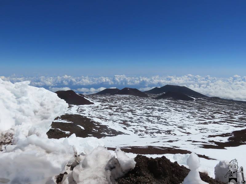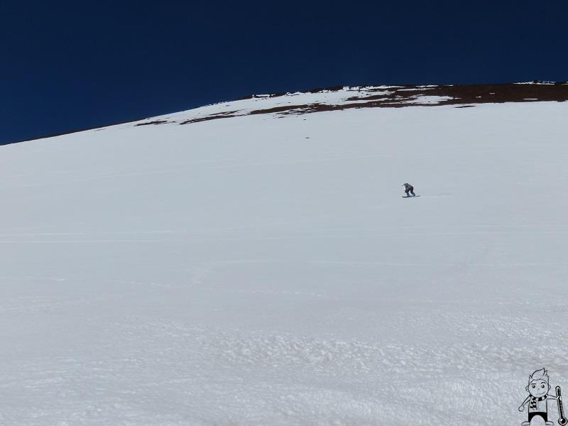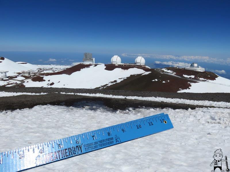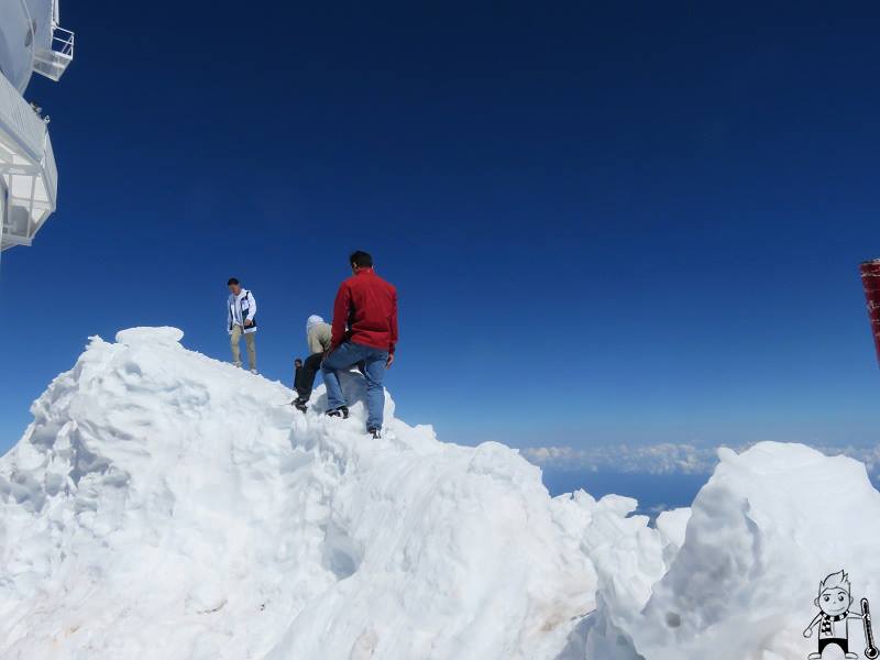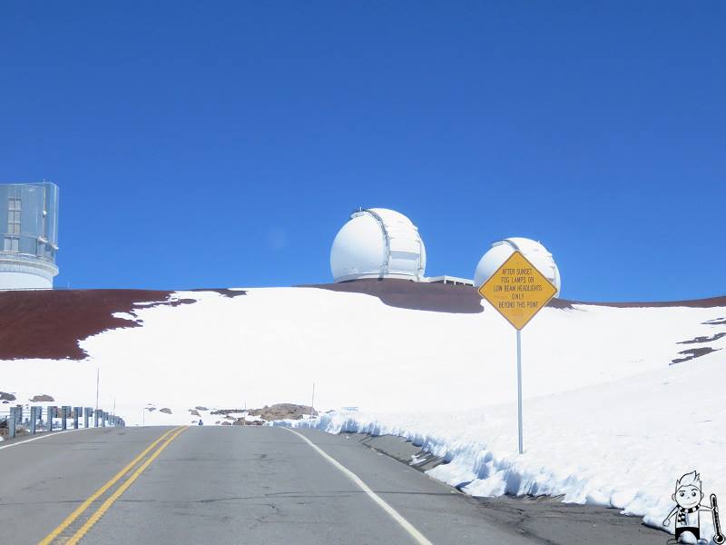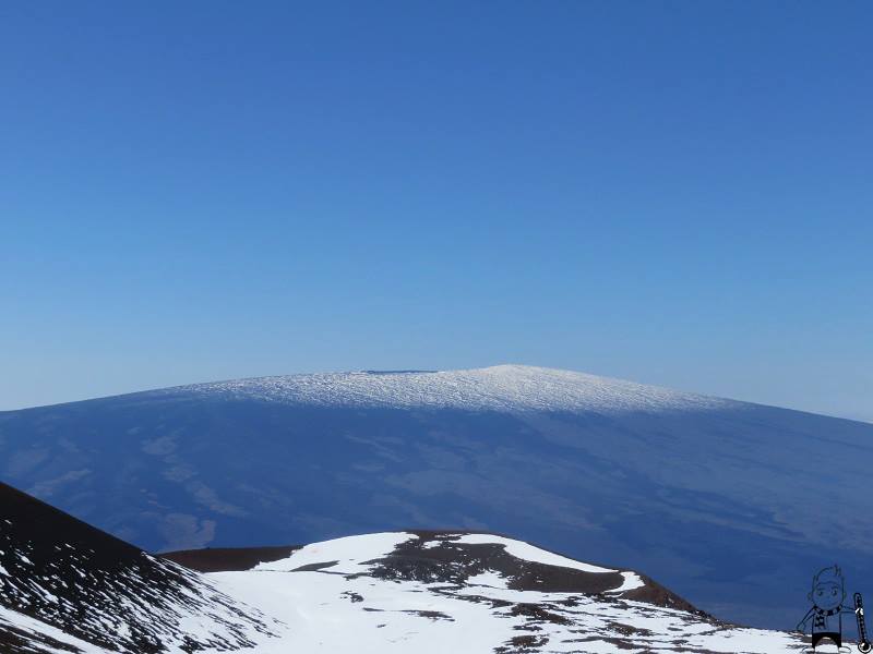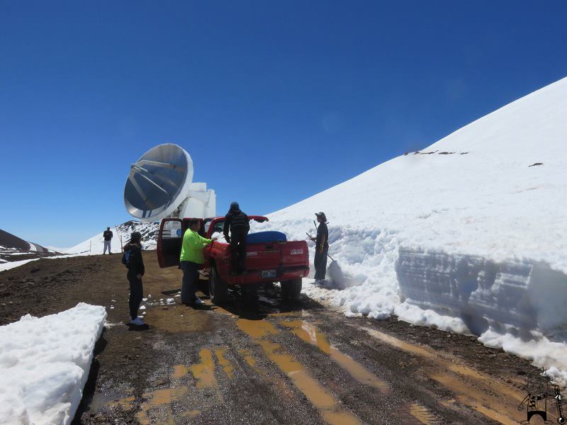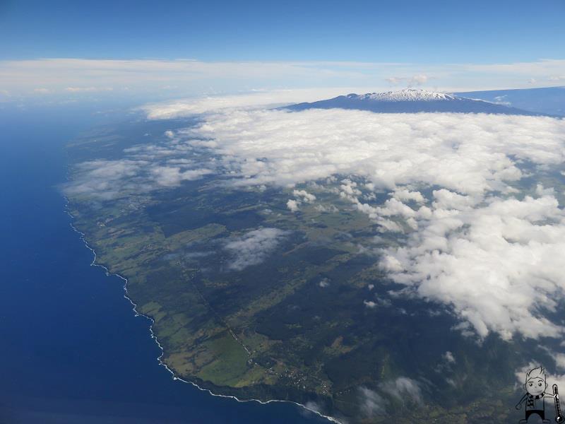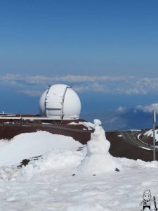
The National Weather Service office in Honolulu, Hawaii continues its Winter Storm Warning for the higher elevations of the Big Island of Hawaii, where near-blizzard conditions are occuring. The Winter Storm Warning remains up through 6pm local time Saturday. More than a 2 feet of snow is possible with winds of 30-50mph creating white-out conditions. Thundersnow is also possible.
While the worst of the winter storm will wrap up today, snow shower activity is forecast to persist throughout much of the upcoming week. On Mauna Kea, 20-30″ of snow could fall through Saturday night. There’s an 80% chance that snow showers will persist through Monday, with a 50% chance of snow showers continuing through next Thursday.
High temperatures are in the low 30’s after overnight lows in the mid 20’s. With the gusty winds that are battering the higher elevations, the Wind Chill Factor will make it feel much colder than it really is with readings in the 20’s.
While most associate Hawaii with warm tropical tradewinds and sipping icy umbrella drinks on sunny beaches dotted by palm trees, snow is no stranger to Hawaii. During a storm last year, Ken Rubin, Geology and Geophysics Professior at the University of Hawaii said, “It snows here every year, but only at the very summits of our three tallest volcanoes.” Those volcanoes are Haleakala on Maui and Mauna Loa and Mauna Kea on the Big Island of Hawaii. “The snow level never gets below 9,000 feet in Hawaii during the winter, but since these mountains are taller…they get dusted with snow a few times a year.”
Snow can also fall in severe storms during other times of the year. Snow fell in the middle of June this year on Mauna Kea and also fell in mid July of last year. The combination of cooler than normal upper air temperatures and thunderstorms bringing in moisture on these high peaks makes it possible.
