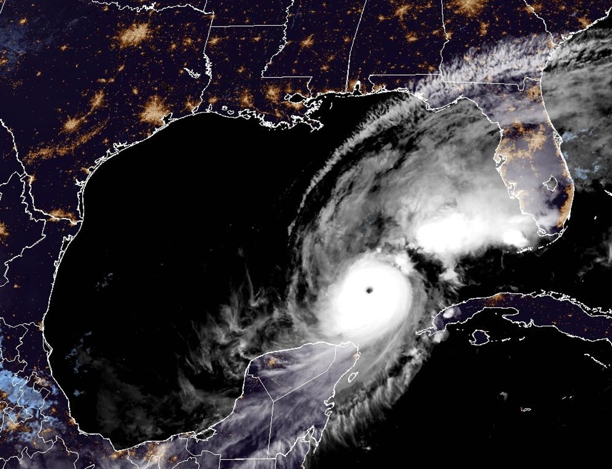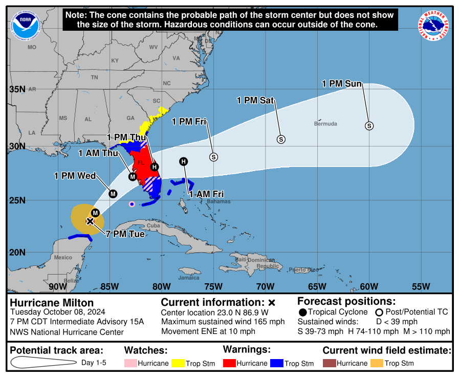
An epic catastrophe is likely in Florida as Major Hurricane Milton continues to gain size and strength this evening. The National Hurricane Center (NHC) bluntly warned the public today, “Milton has the potential to be one of the most destructive hurricanes on record for west-central Florida.” Milton will be bringing an unsurvivable storm surge to portions of the Gulf Coast, a damaging storm surge to portions of the East Coast, destructive hurricane-force winds through a large part of the Florida Peninsula, flooding heavy rains, and the threat of numerous tornadoes and waterspouts.
“A large area of destructive storm surge, with highest inundations of 10 ft or greater, is expected along a portion of the west-central coast of the Florida Peninsula,” warns the National Hurricane Center (NHC). The NHC adds, “If you are in the Storm Surge Warning area, this is an extremely life-threatening situation, and you should evacuate today if ordered by local officials. There will likely not be enough time to wait to leave on Wednesday.”

Devastating hurricane-force winds are expected along portions of the west coast of Florida, where a Hurricane Warning is in effect. Milton is forecast to remain a hurricane as it crosses the Florida Peninsula and life-threatening hurricane-force winds, especially in gusts, are expected to spread inland across the peninsula.
“Preparations to protect life and property, including being ready for long-duration power outages, should be complete by tonight,” the NHC says.

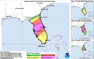
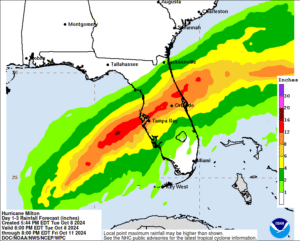
Heavy rainfall across the Florida Peninsula through Thursday brings the risk of catastrophic and life-threatening flash and urban flooding along with moderate to major river flooding, especially in areas where coastal and inland flooding combine to increase the overall flood threat. Parts of Florida will see over a foot of rain –and that is on top of heavy rain that is preceding the storm.

Where Milton makes landfall could make all the difference in the world for some. The worst of the storm surge will be east and south of the landfalling eyewall; a landfall just north of Tampa Bay would be a worst-case scenario for the Tampa metro area. A landfall near Sarasota would be a worst-case scenario for Cape Coral, Ft. Myers, and the nearby islands such as Captiva and Sanibel. All of these areas saw damage from recent storms including Helene just weeks ago, and Hurricanes Irma and Ian in recent years. Milton is likely to be worse than any of them depending on where the storm strikes.
Milton wobbled a bit to the southeast today, but the longer-term motion is east-northeastward. Milton is forecast by the NHC to turn northeastward and begin accelerating later today as it moves between a trough digging into the Gulf of Mexico and a ridge near the Greater Antilles. Because of the wobble, the track guidance used by the NHC has shifted a bit south too.
“It is still critical to remember that even at 36 hours, NHC’s track forecasts can be off by an average of 60 nautical miles, which means we still can’t
pinpoint an exact landfall location, especially if additional wobbles occur in the short term,” the NHC cautions the public. After landfall, Milton is
forecast to cross Florida and emerge over the Atlantic waters on Thursday, remaining a hurricane throughout that journey across land.
While Hurricane Milton continues to pick up strength now, as it approaches Florida, it should weaken somewhat. Nevertheless, it could still be a Category 4 or worse hurricane at landfall and even a weakening storm would continue to be catastrophic.

As of the latest update from the NHC, the minimum central pressure has dipped down to 902 mb or 29.64.” The only hurricane with lower pressure this late in the calendar year in the Atlantic Hurricane Basin on record is Wilma which dipped to 882 mb in 2005. Atlantic Hurricane Basin pressure readings have been recorded since 1979. When Milton’s pressure dropped to 905 mb earlier in the day, it tied with 1998’s Mitch for the second lowest pressure recorded this late in the calendar year in the basin.
As the storm approaches Florida, many tornadoes are expected across the peninsula, especially in strong bands of showers and storms that will be spiraling through. Hurricane-like wind damage could happen from some of these distant cells well away from the eye of the hurricane.