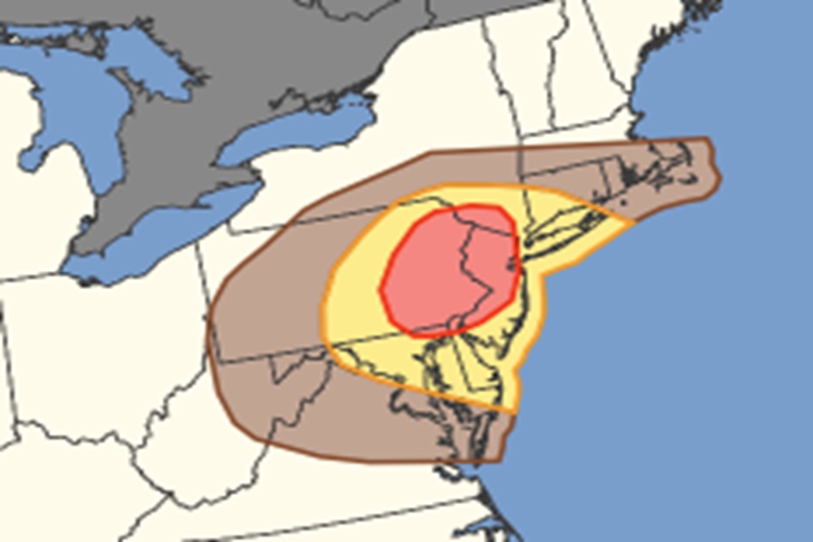
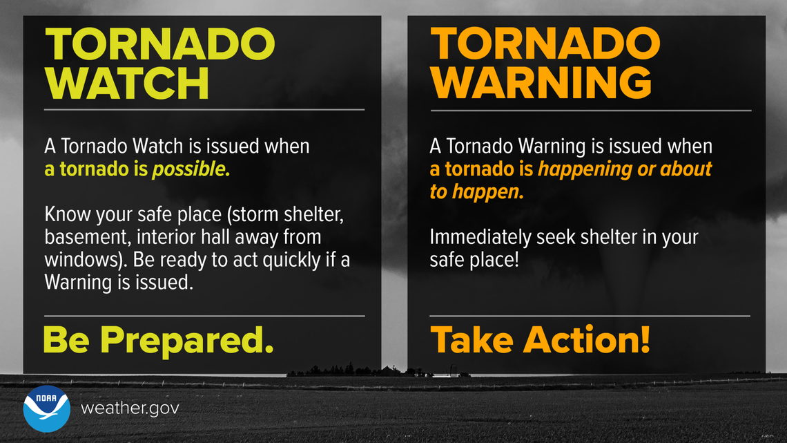
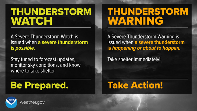
The National Weather Service’s Storm Prediction Center (SPC) is warning about an elevated risk of damaging wind gusts and isolated tornadoes on Friday for portions of the Mid Atlantic and Northeast, with the greatest risk area over New Jersey, Pennsylvania, and New York. Tornado Watches and Warnings and Severe Thunderstorm Watches and Warnings may become necessary for these locations on Friday.
A pronounced, positively tilted upper trough will continue to amplify as it rapidly approaches the East Coast tomorrow on Friday. Accompanying this upper trough will be a strong surface cyclone, which will track from the eastern Great Lakes to northern New England during the day. A marginally unstable airmass will advect ahead of a surface trough attendant from the cyclone, supporting deep-moist convective potential amid an environment characterized by strong forcing and vertical wind shear. As such, severe storms will be possible across portions of the Mid-Atlantic into southern New England late tomorrow morning into the evening hours.
As the upper trough amplifies and the surface cyclone deepens over the northern Appalachians, low-level convergence along the attendant surface trough will increase into the morning hours, resulting in the development of low-topped convection that will quickly evolve
into a squall line across western New York and Pennsylvania.
Regardless of the degree of destabilization that precedes the squall line, downward momentum transport of the stronger flow aloft within the squall line should support strong to occasionally severe surface gusts, mostly in the 38-64 mph range.
The SPC warns, “Scattered instances of tree/wire damage are expected, starting from around western Pennsylvania during the late morning hours, to the East Coast around early evening.
In addition to the strong straight line winds, isolated tornadoes may also develop along the squall line, with the greatest threat of tornadic cells over eastern Pennsylvania including the Philadelphia metro area.
