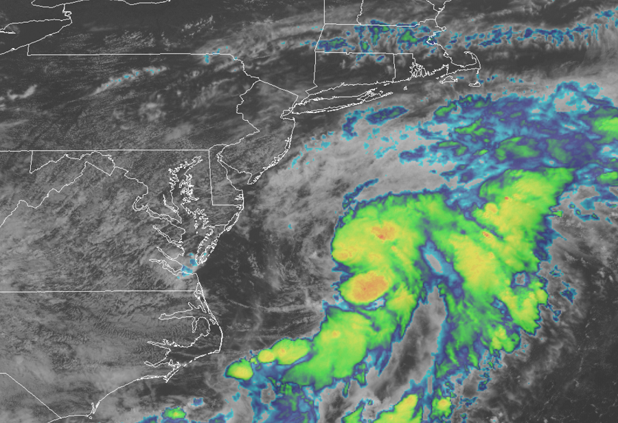
The National Hurricane Center has upgraded the tropical cyclone swiling off of the Mid Atlatic Coast to Tropical Storm Kyle, making it the the earliest “K” storm ever on record in the Atlantic. Kyle beats 2005’s Katrina which formed on August 24 of that year.
Satellite imagery indicates that shower activity associated with the low pressure area located about 300 miles south-southwest of Nantucket, Massachusetts has become better organized. In addition, according to the NHC, recent satellite wind data show that the circulation is becoming better defined, with winds to near gale force to the southeast of the center. With a tropical storm structure and winds present, the NHC will begin issuing advisories on Kyle starting at 5pm ET.
The storm system is expected to move east northeastward which would bring it away from the Mid Atlantic coast, southeast of New England, and south of the Canadian Maritime provinces. However, computer forecast model guidance suggests the system could merge with a strong area of low pressure over the North Atlantic over time; if this occurs, portions of Europe could be impacted by a large, severe storm as this system crosses the Atlantic.
While direct impacts aren’t expected along the Mid Atlantic and New England coasts, there could be rough seas and rip currents. Even experienced swimmers and surfers are urged to use extreme caution when entering the ocean and to observe posted warning signs and instructions from lifeguards.