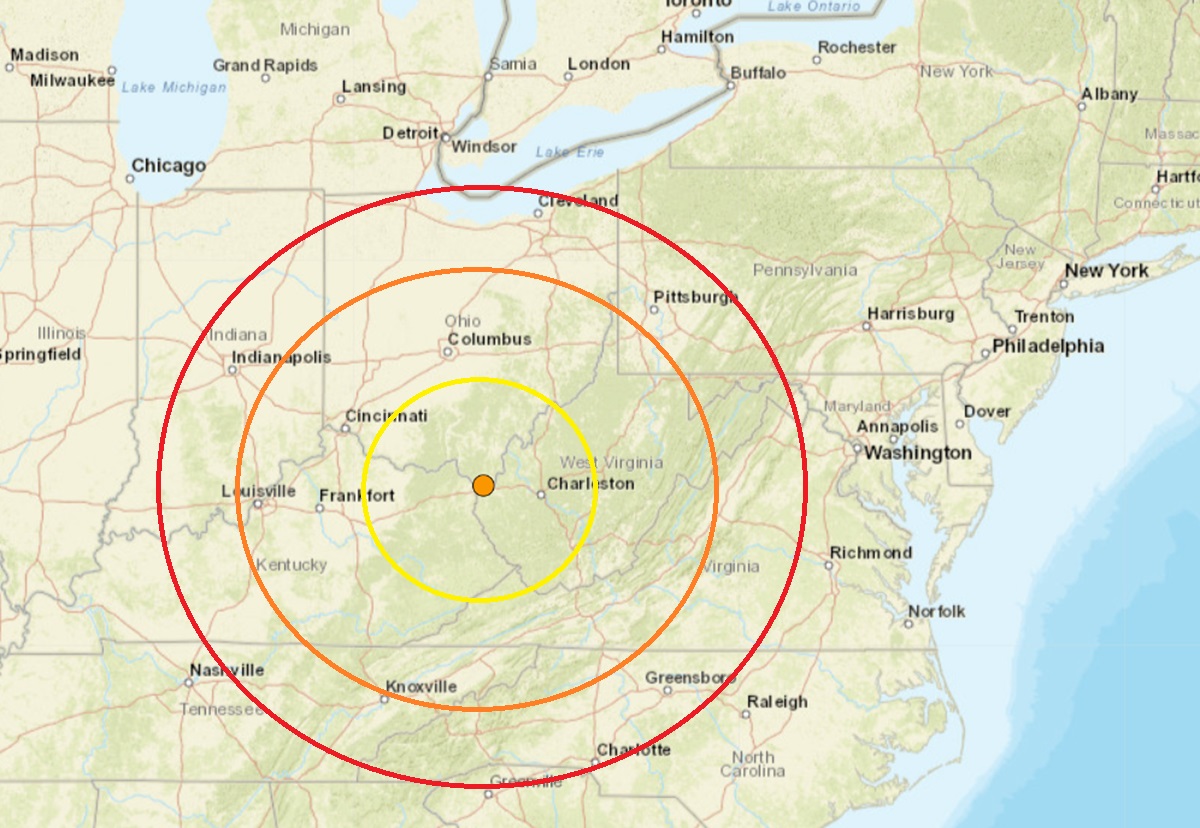
An mild earthquake that is strong by Ohio standards stuck the southern part of the state today, making more than 1,000 people in the region file reports with the USGS on their “Did you feel it?” web reporting tool that they felt shaking and/or heard booming noises.
The magnitude 3.3 earthquake struck near Chesapeake, Ohio at 4:39 pm today from a depth of 23.2 km. Chesapeake is located in the southernmost part of Ohio near the state lines with West Virginia and Kentucky, close to Huntington, West Virginia. According to USGS, there was no other seismic activity in this area over the last 30 days.
A magnitude of this size is expected to create light shaking with little to no damage. As of publication time, there has been no reports of damage or injury from this seismic event.
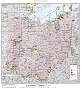
Earthquakes aren’t usually common in Ohio, but there has been an uptick in quakes around the state. A weak magnitude 1.8 event struck last month on November 25 to the north, just south of Youngstown. A magnitude 2.6 earthquake struck outside of Toledo in May. Before that, an earthquake hit on March 20 about 14 miles southwest of Gallipolis; it was a magnitude 2.3 event. On February 4, an even weaker magnitude 2.0 event struck near Athens. On January 23, an earthquake of the same magnitude, 2.0, struck near Fairport Harbor.
According to the Ohio Department of Natural Resources, Ohio has deployed a seismic network with 21 seismograph stations throughout the state that continuously monitor and record earthquake activity. The Ohio Seismic Network (OhioSeis) went online in January 1999, ending a five-year gap during which there was only one operating station in Ohio. Ohio has 24/7 monitoring and coverage by seismic stations with automatic detection, location and magnitude determination.
USGS says Ohio has experienced more than 160 felt earthquakes since 1776. Most of these events caused no damage or injuries. However, 15 Ohio earthquakes resulted in property damage and some minor injuries. The largest historic earthquake in the state occurred in 1937. The 1936 event had an estimated magnitude of 5.4 and caused considerable damage in the town of Anna and in several other western Ohio communities.
