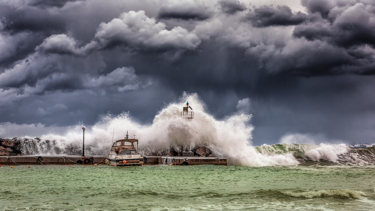
A significant coastal storm is taking shape along the U.S. East Coast, prompting the National Weather Service to issue many watches and warnings due to a variety of weather hazards. An area of low pressure located over the Ohio Valley today will continue to spread showers and thunderstorms across much of the Southeast and Mid-Atlantic tonight before reforming near the southern tip of the Delmarva Peninsula on Saturday. This new coastal storm will take over, lashing portions of the East Coast with heavy rain, strong, potentially damaging winds, rough surf, beach erosion, and coastal flooding.

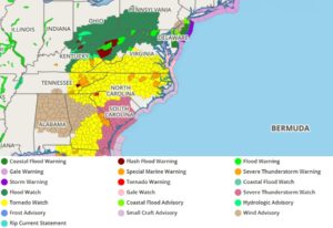
Before the coastal storm gets going, there’s plenty of severe weather in the mix this evening. An associated cold front and lifting warm front over the southern Mid-Atlantic have combined to create ripe conditions for some thunderstorms to turn severe. The Storm Prediction Center issued earlier today an Enhanced Risk (level 3/5) of severe weather in its Convective Outlook through tonight from the southern Mid-Atlantic to the Florida Panhandle. Tornado Watches have also been issued for much of this area to highlight the potential for thunderstorms to produce tornadoes, along with damaging wind gusts and large hail. The severe weather threat will drastically diminish on Saturday as the cold front pushes off the East Coast.
While severe weather will strike to the south, heavy rain will fall to the north. Numerous rounds of heavy rain north of the warm front and eventually northwest of the developing coastal low will likely lead to scattered instances of flash flooding overnight from the Ohio Valley and central Appalachians into the northern Mid Atlantic. Showers will linger over the Mid-Atlantic and southern New England on Saturday.

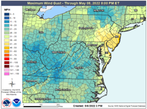
As the storm winds up along the Mid Atlantic coast, coastal hazards will pop-up as winds increase. Gusty east-northeasterly winds will also lead to the potential of coastal flooding, rip currents, and beach erosion. Winds at the shore may also be strong enough to cause wires or tree limbs to snap, creating power outage problems.
Some of the worst coastal flooding will be in southern New Jersey and Delaware, where moderate coastal flooding is in the forecast. Due to this threat, the National Weather Service has issued Coastal Flood Warnings for Sussex County in Delaware and Ocean, Atlantic, Cape May, and Burlington Counties in New Jersey. Between 11pm Saturday and 6am Sunday, there could be a 1-2 foot (above ground level) inundation of coastal areas, prompting the issuance of that Warning.
The National Weather Service has also issued a Gale Warning from 6am Saturday through to 6am Sunday for the coastal waters stretching from Great Egg Inlet to Cape May, New Jersey, out 20 nautical miles to sea. In this area, east winds of 30-40 mph with gusts to or over 60 mph are possible with 8-13′ waves at sea. The National Weather Service warns, “Very strong winds will cause hazardous seas which could capsize or damage vessels and reduce visibility.” They add, “Mariners should remain in port, alter course, and/or secure the vessel for severe conditions.”

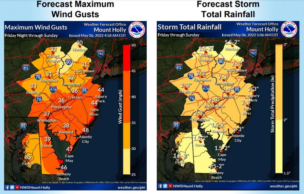
Central and southern New Jersey and Delaware will also see the heaviest rains and strongest winds from this storm. While the coast will see the highest winds, winds in the 30-40 mph could also blow through much of southern and central New Jersey, much of Delaware even away from the Atlantic coast, and even southeastern Pennsylvania including the Philadelphia metro area. This area will also see the heaviest rains from the storm, with a widespread 2-3″ storm total expected here.
This coastal storm will meander off the east coast over the next several days. By the middle of next week, meteorologists will be keeping an eye on whether or not this storm takes on any tropical storm characteristics. While the 2022 Atlantic Hurricane Season doesn’t officially begin until June 1, May tropical storms aren’t unheard of. Some extended forecast guidance says this storm could transition into a tropical cyclone by the end of next week and impact the U.S. East Coast. Whether or not that actually happens is too far out from being known for sure. However, meteorologists will keep an eye on it and residents should too.