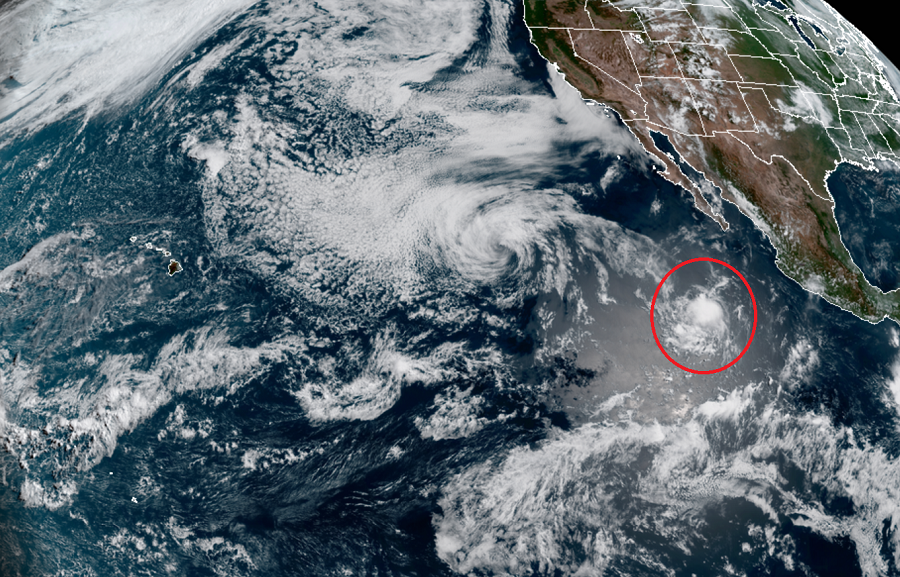
While Tropical Storm Cristina faded away yesterday over the open waters of the Pacific Ocean between Hawaii and Mexico, a new threat is taking shape over the eastern Pacific. Classified as Tropical Depression Six-E, this latest system is forecast by the National Hurricane Center (NHC) in Miami, Florida to eventually become a tropical storm.
The NHC reports that the new tropical depression is located near latitude 16.6 North, longitude 112.6 West. Maximum sustained winds are near 35 mph with higher gusts. The estimated minimum central pressure is 1007 mb or 29.74 inches.
For now, the depression is moving toward the west near 16 mph. The NHC expects this generational motion to continue for the next several days while the system is also forecast to gain strength. The NHC believes Tropical Depression Six-E will become a tropical storm later tonight or tomorrow. When it reaches tropical storm strength, it will be named Douglas.
While the NHC is forecasting the new tropical storm to weaken over time, global computer forecast models suggests it’s possible that the storm could reach Hawaii over time. While it’s way too early to know if that would happen, or what strength the system would have if/when it gets there, people in Hawaii should make sure they have a hurricane action plan in place well before any threat arrives.
Earlier this year, the Honolulu, Hawaii – based Central Pacific Hurricane Center issued a seasonal outlook that called for a below normal or near-normal hurricane season for the central Pacific basin that surrounds Hawaii. There have been no tropical cyclone threats to Hawaii this season yet. Should Douglas change that, it won’t be for a while: the system is more than a week away from being even close to the Aloha State.