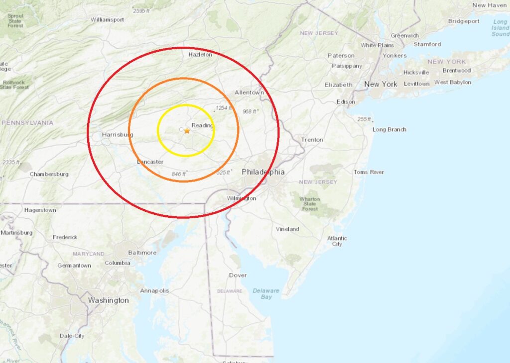
According to USGS, a magnitude 2.4 earthquake struck outside of Reading, Pennsylvania this afternoon. At 4:36 pm today, from a depth of 8km, the earthquake struck just southeast of where Highways 422 and 202 merge in Wyomissing, due west of downtown Reading. While no damage or injuries have been reported, more than two dozen people used the “Did you feel it?” reporting tool on the USGS website to report they felt shaking from this earthquake. USGS says the earthquake struck in an area known as the Lancaster seismic zone.
Since colonial times, people in the Lancaster seismic zone of southeastern Pennsylvania have felt small earthquakes and suffered damage from larger ones. “Earthquakes are felt once or twice per decade, with some decades having none and the 1990s having as many as six,” USGS wrote in an update on the earthquake. The Lancaster Seismic Zone is the most active seismic zone in the Commonwealth of Pennsylvania. This seismic zone has produced a number of moderate earthquakes in the past and has been routinely active over at least the last 200 years.
Earthquakes in the central and eastern United States, although less frequent than in the western U.S., are typically felt over a much broader region. East of the Rockies, an earthquake can be felt over an area as much as ten times larger than a similar magnitude earthquake on the west coast. A magnitude 4.0 eastern U.S. earthquake typically can be felt at many places as far as 60 miles from where it occurred, and it infrequently causes damage near its source. A magnitude 5.5 eastern U.S. earthquake usually can be felt as far as 300 miles from where it occurred, and sometimes causes damage as far away as 25 miles.
